Distance to South Gorin, Missouri

Calculating Your Route
Just a moment while we process your request...
Location Information
-
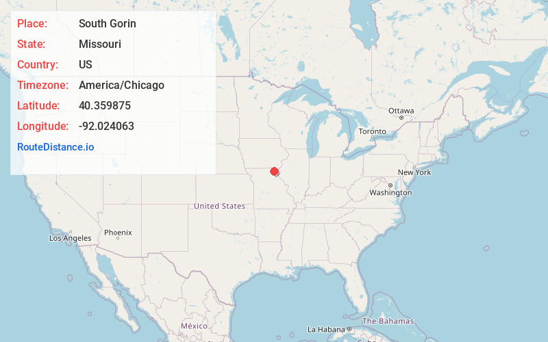
Full AddressSouth Gorin, MO 63543
-
Coordinates40.3598747, -92.0240633
-
LocationSouth Gorin , Missouri , US
-
TimezoneAmerica/Chicago
-
Current Local Time11:02:22 AM America/ChicagoThursday, June 12, 2025
-
Page Views0
About South Gorin
South Gorin is a city located in Scotland County, Missouri, United States. As of the 2020 census, its population was 62. The original name of the city was simply "Gorin", and it was changed. The official name for the post office in South Gorin is still Gorin.
Nearby Places
Found 10 places within 50 miles

Rutledge
4.5 mi
7.2 km
Rutledge, MO 63563
Get directions

Wyaconda
5.5 mi
8.9 km
Wyaconda, MO 63474
Get directions
Edinburg
8.5 mi
13.7 km
Edinburg, Tobin Township, MO 63563
Get directions

Luray
9.9 mi
15.9 km
Luray, MO
Get directions

Memphis
10.3 mi
16.6 km
Memphis, MO 63555
Get directions
Medill
14.0 mi
22.5 km
Medill, MO 63445
Get directions
Williamstown
14.5 mi
23.3 km
Williamstown, MO 63473
Get directions
Knox City
15.0 mi
24.1 km
Knox City, MO 63446
Get directions

Edina
15.4 mi
24.8 km
Edina, MO 63537
Get directions

Kahoka
16.6 mi
26.7 km
Kahoka, MO 63445
Get directions
Location Links
Local Weather
Weather Information
Coming soon!
Location Map
Static map view of South Gorin, Missouri
Browse Places by Distance
Places within specific distances from South Gorin
Short Distances
Long Distances
Click any distance to see all places within that range from South Gorin. Distances shown in miles (1 mile ≈ 1.61 kilometers).