Distance to South Point, Texas

Calculating Your Route
Just a moment while we process your request...
Location Information
-
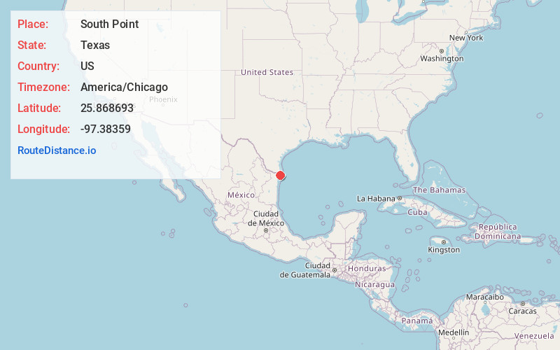
Full AddressSouth Point, TX 78521
-
Coordinates25.8686928, -97.3835895
-
LocationSouth Point , Texas , US
-
TimezoneAmerica/Chicago
-
Current Local Time6:43:40 AM America/ChicagoTuesday, June 17, 2025
-
Page Views0
About South Point
South Point is a census-designated place in Cameron County, Texas, United States. The population was 1,376 at the 2010 census, up from 1,118 at the 2000 census. Part of the Brownsville–Harlingen Metropolitan Statistical Area, South Point is the southernmost census designated place in the state of Texas.
Nearby Places
Found 10 places within 50 miles

Reid Hope King
4.2 mi
6.8 km
Reid Hope King, TX 78521
Get directions

Brownsville
7.4 mi
11.9 km
Brownsville, TX
Get directions

Cameron Park
8.8 mi
14.2 km
Cameron Park, TX 78526
Get directions

Olmito
14.1 mi
22.7 km
Olmito, TX 78575
Get directions

Los Fresnos
15.2 mi
24.5 km
Los Fresnos, TX
Get directions

Rancho Viejo
16.0 mi
25.7 km
Rancho Viejo, TX
Get directions

Laguna Heights
16.6 mi
26.7 km
Laguna Heights, TX 78578
Get directions

Indian Lake
16.9 mi
27.2 km
Indian Lake, TX 78566
Get directions

Laguna Vista
17.1 mi
27.5 km
Laguna Vista, TX
Get directions

Port Isabel
17.8 mi
28.6 km
Port Isabel, TX
Get directions
Location Links
Local Weather
Weather Information
Coming soon!
Location Map
Static map view of South Point, Texas
Browse Places by Distance
Places within specific distances from South Point
Short Distances
Long Distances
Click any distance to see all places within that range from South Point. Distances shown in miles (1 mile ≈ 1.61 kilometers).