Distance to South Raub, Indiana

Calculating Your Route
Just a moment while we process your request...
Location Information
-
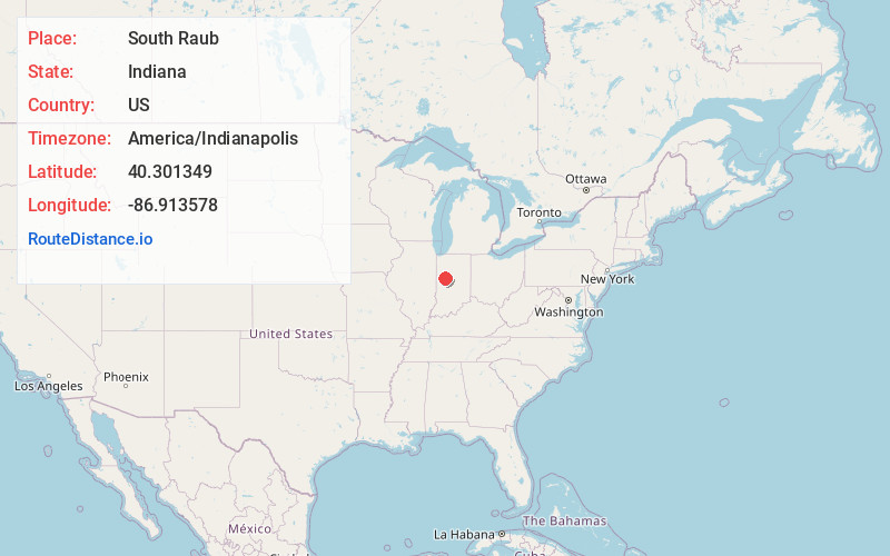
Full AddressSouth Raub, IN 47909
-
Coordinates40.3013488, -86.9135781
-
LocationSouth Raub , Indiana , US
-
TimezoneAmerica/Indianapolis
-
Page Views0
About South Raub
South Raub is a small unincorporated community on the border of Randolph and Wea Townships in Tippecanoe County, Indiana.
Nearby Places
Found 10 places within 50 miles

Taylor
2.9 mi
4.7 km
Taylor, Shadeland, IN 47909
Get directions
Romney
3.5 mi
5.6 km
Romney, IN 47981
Get directions
Concord
4.1 mi
6.6 km
Concord, IN 47909
Get directions

Shadeland
5.3 mi
8.5 km
Shadeland, IN
Get directions
West Point
7.4 mi
11.9 km
West Point, IN 47992
Get directions
Stockwell
7.6 mi
12.2 km
Stockwell, IN
Get directions

Linden
7.8 mi
12.6 km
Linden, IN
Get directions

New Richmond
8.0 mi
12.9 km
New Richmond, IN
Get directions

Lafayette
8.1 mi
13.0 km
Lafayette, IN
Get directions
Kirkpatrick
8.2 mi
13.2 km
Kirkpatrick, IN 47981
Get directions
Location Links
Local Weather
Weather Information
Coming soon!
Location Map
Static map view of South Raub, Indiana
Browse Places by Distance
Places within specific distances from South Raub
Short Distances
Long Distances
Click any distance to see all places within that range from South Raub. Distances shown in miles (1 mile ≈ 1.61 kilometers).