Distance to Stockwell, Indiana

Calculating Your Route
Just a moment while we process your request...
Location Information
-
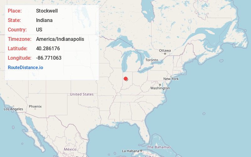
Full AddressStockwell, IN
-
Coordinates40.2861763, -86.7710633
-
LocationStockwell , Indiana , US
-
TimezoneAmerica/Indianapolis
-
Page Views0
About Stockwell
Stockwell, originally named Lauramie, is a census-designated place in Lauramie Township, Tippecanoe County, in the U.S. state of Indiana. It was once a stop along the Indianapolis, Cincinnati and Lafayette Railroad, but the rail line has since been removed.
Nearby Places
Found 10 places within 50 miles

Clarks Hill
3.6 mi
5.8 km
Clarks Hill, IN 47930
Get directions

Dayton
6.1 mi
9.8 km
Dayton, IN
Get directions

Mulberry
6.9 mi
11.1 km
Mulberry, IN 46058
Get directions

Romney
7.4 mi
11.9 km
Romney, IN 47981
Get directions

Colfax
8.3 mi
13.4 km
Colfax, IN 46035
Get directions

Linden
9.7 mi
15.6 km
Linden, IN
Get directions

Lafayette
11.1 mi
17.9 km
Lafayette, IN
Get directions

Shadeland
11.1 mi
17.9 km
Shadeland, IN
Get directions

West Lafayette
12.1 mi
19.5 km
West Lafayette, IN
Get directions

Darlington
12.4 mi
20.0 km
Darlington, IN
Get directions
Location Links
Local Weather
Weather Information
Coming soon!
Location Map
Static map view of Stockwell, Indiana
Browse Places by Distance
Places within specific distances from Stockwell
Short Distances
Long Distances
Click any distance to see all places within that range from Stockwell. Distances shown in miles (1 mile ≈ 1.61 kilometers).