Distance to South Union, South Carolina

Calculating Your Route
Just a moment while we process your request...
Location Information
-
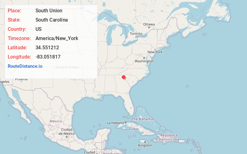
Full AddressSouth Union, SC 29693
-
Coordinates34.5512116, -83.0518174
-
LocationSouth Union , South Carolina , US
-
TimezoneAmerica/New_York
-
Current Local Time8:09:48 AM America/New_YorkWednesday, June 18, 2025
-
Page Views0
About South Union
South Union is an unincorporated community and census-designated place in Oconee County, South Carolina, United States. It was first listed as a CDP prior to the 2020 census with a population of 341.
The CDP is in southern Oconee County, bordered to the southwest by the Chickasaw Point CDP.
Nearby Places
Found 10 places within 50 miles

Gumlog
4.4 mi
7.1 km
Gumlog, GA
Get directions

Fair Play
4.7 mi
7.6 km
Fair Play, SC 29643
Get directions

Westminster
8.3 mi
13.4 km
Westminster, SC 29693
Get directions

Lavonia
8.6 mi
13.8 km
Lavonia, GA 30553
Get directions

Reed Creek
10.7 mi
17.2 km
Reed Creek, GA
Get directions

Seneca
10.9 mi
17.5 km
Seneca, SC
Get directions
Utica
11.1 mi
17.9 km
Utica, SC 29678
Get directions

Bowersville
12.4 mi
20.0 km
Bowersville, GA
Get directions

West Union
14.4 mi
23.2 km
West Union, SC
Get directions

Canon
14.5 mi
23.3 km
Canon, GA 30520
Get directions
Location Links
Local Weather
Weather Information
Coming soon!
Location Map
Static map view of South Union, South Carolina
Browse Places by Distance
Places within specific distances from South Union
Short Distances
Long Distances
Click any distance to see all places within that range from South Union. Distances shown in miles (1 mile ≈ 1.61 kilometers).