Distance to Southampton Airport, England

Calculating Your Route
Just a moment while we process your request...
Location Information
-
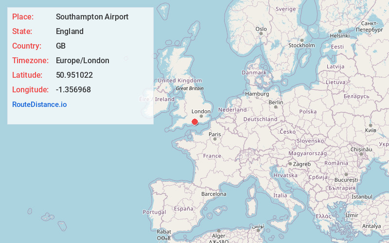
Full AddressSouthampton Airport (SOU), Southampton SO18 2NL, United Kingdom
-
Coordinates50.9510222, -1.3569683
-
LocationSouthampton , England , GB
-
TimezoneEurope/London
-
Current Local Time6:56:18 AM Europe/LondonTuesday, June 3, 2025
-
Website
-
Page Views0
About Southampton Airport
International airport with bus and train links to the city centre, the local region and London.


Nearby Places
Found 10 places within 50 miles

Paultons Park Home of Peppa Pig World
8.5 mi
13.7 km
Paultons Park Home of Peppa Pig World, Romsey SO51 6AL, United Kingdom
Get directions

Hampshire
11.3 mi
18.2 km
Hampshire, UK
Get directions

Salisbury
20.7 mi
33.3 km
Salisbury, UK
Get directions

Stonehenge
25.8 mi
41.5 km
Stonehenge, Salisbury SP4 7DE, United Kingdom
Get directions

Chichester
26.5 mi
42.6 km
Chichester, UK
Get directions

Reading
38.5 mi
62.0 km
Reading, UK
Get directions

Surrey
44.2 mi
71.1 km
Surrey, UK
Get directions

Dorset
45.2 mi
72.7 km
Dorset, UK
Get directions

Swindon
45.8 mi
73.7 km
Swindon, UK
Get directions

Windsor
48.7 mi
78.4 km
Windsor, UK
Get directions
Location Links
Local Weather
Weather Information
Coming soon!
Location Map
Static map view of Southampton Airport, England
Browse Places by Distance
Places within specific distances from Southampton Airport
Short Distances
Long Distances
Click any distance to see all places within that range from Southampton Airport. Distances shown in miles (1 mile ≈ 1.61 kilometers).