Distance to Sparks, Nebraska

Calculating Your Route
Just a moment while we process your request...
Location Information
-
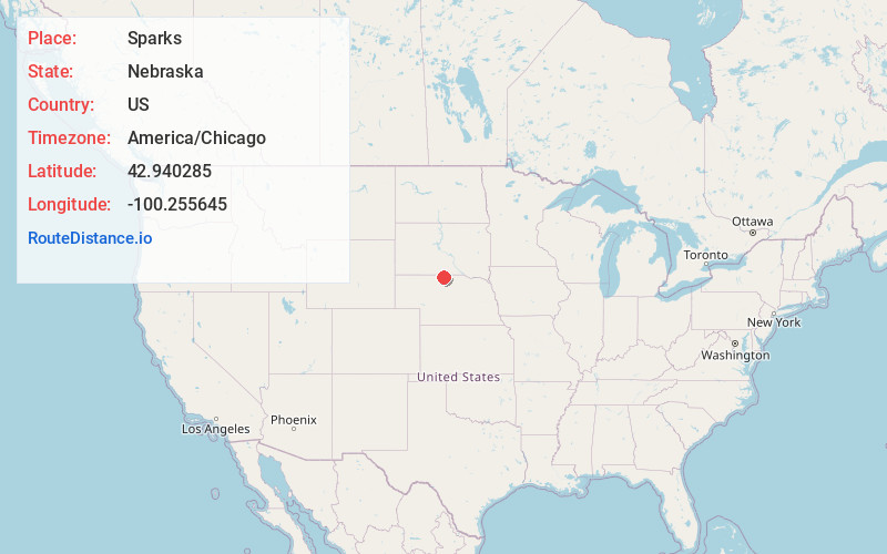
Full AddressSparks, NE
-
Coordinates42.9402849, -100.2556447
-
LocationSparks , Nebraska , US
-
TimezoneAmerica/Chicago
-
Current Local Time6:16:38 PM America/ChicagoWednesday, June 11, 2025
-
Page Views0
About Sparks
Sparks is an unincorporated community in Cherry County, Nebraska, United States. Its elevation is 2,602 feet. Sparks has a post office with the ZIP code 69220.


Nearby Places
Found 10 places within 50 miles

Littleburg
12.3 mi
19.8 km
Littleburg, East Todd, SD 69201
Get directions
Keyapaha
13.1 mi
21.1 km
Keyapaha, Holsclaw Township, SD 57580
Get directions
Thatcher
14.1 mi
22.7 km
Thatcher, NE 69201
Get directions
Arabia
15.6 mi
25.1 km
Arabia, NE 69221
Get directions

Valentine
15.7 mi
25.3 km
Valentine, NE 69201
Get directions
Millboro
17.1 mi
27.5 km
Millboro, SD 57580
Get directions
Wood Lake
20.9 mi
33.6 km
Wood Lake, NE 69221
Get directions
Hidden Timber
21.7 mi
34.9 km
Hidden Timber, SD 57555
Get directions
Olsonville
22.1 mi
35.6 km
Olsonville, SD 69201
Get directions
Meadville
24.1 mi
38.8 km
Meadville, Garfield Precinct, NE 68778
Get directions
Location Links
Local Weather
Weather Information
Coming soon!
Location Map
Static map view of Sparks, Nebraska
Browse Places by Distance
Places within specific distances from Sparks
Short Distances
Long Distances
Click any distance to see all places within that range from Sparks. Distances shown in miles (1 mile ≈ 1.61 kilometers).