Distance to Sparrowhawk, Oklahoma

Calculating Your Route
Just a moment while we process your request...
Location Information
-
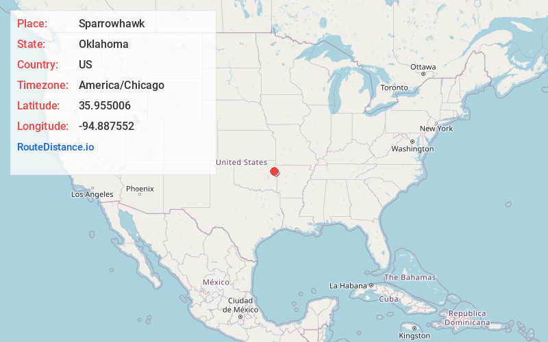
Full AddressSparrowhawk, OK 74464
-
Coordinates35.9550057, -94.8875518
-
LocationSparrowhawk , Oklahoma , US
-
TimezoneAmerica/Chicago
-
Current Local Time7:11:01 PM America/ChicagoWednesday, June 18, 2025
-
Page Views0
About Sparrowhawk
Sparrowhawk is an unincorporated community and census-designated place in Cherokee County, Oklahoma, United States. The population was 202 as of the 2020 Census, up from the population of 191 reported as of the 2010 census, at which time the CDP was known as Scraper.
Nearby Places
Found 10 places within 50 miles

Briggs
2.6 mi
4.2 km
Briggs, OK 74464
Get directions

Eldon
3.2 mi
5.1 km
Eldon, OK 74464
Get directions

Steely Hollow
4.7 mi
7.6 km
Steely Hollow, OK 74464
Get directions
Grandview
5.1 mi
8.2 km
Grandview, OK 74464
Get directions
Ellerville
5.3 mi
8.5 km
Ellerville, OK 74464
Get directions

Tahlequah
5.4 mi
8.7 km
Tahlequah, OK 74464
Get directions

Welling
5.8 mi
9.3 km
Welling, OK
Get directions
Proctor
6.2 mi
10.0 km
Proctor, OK 74464
Get directions
Indian Meadows
7.2 mi
11.6 km
Indian Meadows, Park Hill, OK 74464
Get directions

Titanic
7.5 mi
12.1 km
Titanic, OK
Get directions
Location Links
Local Weather
Weather Information
Coming soon!
Location Map
Static map view of Sparrowhawk, Oklahoma
Browse Places by Distance
Places within specific distances from Sparrowhawk
Short Distances
Long Distances
Click any distance to see all places within that range from Sparrowhawk. Distances shown in miles (1 mile ≈ 1.61 kilometers).