Distance to Sprague, Wisconsin

Calculating Your Route
Just a moment while we process your request...
Location Information
-
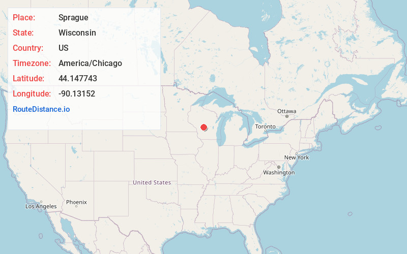
Full AddressSprague, Necedah, WI 54646
-
Coordinates44.1477425, -90.1315198
-
LocationNecedah , Wisconsin , US
-
TimezoneAmerica/Chicago
-
Current Local Time6:02:11 AM America/ChicagoFriday, June 20, 2025
-
Page Views0
About Sprague
Sprague is an unincorporated community located in the town of Necedah, Juneau County, Wisconsin, United States. Sprague is located on Wisconsin Highway 80 and the Canadian National Railway 8.5 miles north-northwest of the village of Necedah.
Nearby Places
Found 10 places within 50 miles

Necedah
8.9 mi
14.3 km
Necedah, WI 54646
Get directions

Babcock
10.8 mi
17.4 km
Babcock, WI
Get directions

Arkdale
14.7 mi
23.7 km
Arkdale, WI 54613
Get directions

Dellwood
14.8 mi
23.8 km
Dellwood, WI
Get directions

Wyeville
15.0 mi
24.1 km
Wyeville, WI
Get directions

Lake Arrowhead
15.7 mi
25.3 km
Lake Arrowhead, WI 54457
Get directions

Nekoosa
16.0 mi
25.7 km
Nekoosa, WI 54457
Get directions
Dexter
16.1 mi
25.9 km
Dexter, WI
Get directions

Camp Douglas
17.0 mi
27.4 km
Camp Douglas, WI
Get directions

Lake Sherwood
17.2 mi
27.7 km
Lake Sherwood, WI 54457
Get directions
Location Links
Local Weather
Weather Information
Coming soon!
Location Map
Static map view of Sprague, Wisconsin
Browse Places by Distance
Places within specific distances from Sprague
Short Distances
Long Distances
Click any distance to see all places within that range from Sprague. Distances shown in miles (1 mile ≈ 1.61 kilometers).