Distance to Springtown, Missouri

Calculating Your Route
Just a moment while we process your request...
Location Information
-
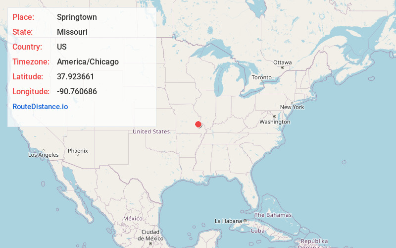
Full AddressSpringtown, MO 63660
-
Coordinates37.9236606, -90.7606858
-
LocationSpringtown , Missouri , US
-
TimezoneAmerica/Chicago
-
Current Local Time10:52:51 PM America/ChicagoFriday, June 6, 2025
-
Page Views0
Nearby Places
Found 10 places within 50 miles

Potosi
1.7 mi
2.7 km
Potosi, MO
Get directions

Mineral Point
2.5 mi
4.0 km
Mineral Point, MO 63660
Get directions
Bates Creek Camp
3.5 mi
5.6 km
Bates Creek Camp, Breton Township, MO 63664
Get directions
Hopewell
4.0 mi
6.4 km
Hopewell, MO 63660
Get directions
Happy Hollow
5.7 mi
9.2 km
Happy Hollow, Union Township, MO 63630
Get directions

Cadet
5.8 mi
9.3 km
Cadet, MO 63630
Get directions
Old Mines
6.3 mi
10.1 km
Old Mines, MO 63630
Get directions
Shibboleth
6.4 mi
10.3 km
Shibboleth, Union Township, MO 63630
Get directions
Mud Town
6.7 mi
10.8 km
Mud Town, Union Township, MO 63630
Get directions

Terre Du Lac
7.4 mi
11.9 km
Terre Du Lac, Terre du Lac, MO 63628
Get directions
Location Links
Local Weather
Weather Information
Coming soon!
Location Map
Static map view of Springtown, Missouri
Browse Places by Distance
Places within specific distances from Springtown
Short Distances
Long Distances
Click any distance to see all places within that range from Springtown. Distances shown in miles (1 mile ≈ 1.61 kilometers).