Distance to St Clement Shores, Maryland

Calculating Your Route
Just a moment while we process your request...
Location Information
-
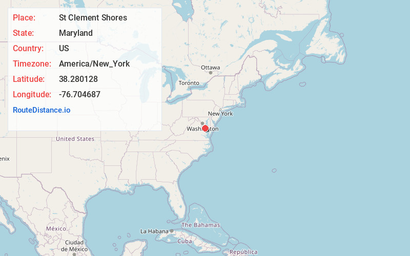
Full AddressSt Clement Shores, MD 20650
-
Coordinates38.2801281, -76.7046868
-
LocationMaryland , US
-
TimezoneAmerica/New_York
-
Current Local Time3:58:20 AM America/New_YorkWednesday, June 4, 2025
-
Page Views0
Nearby Places
Found 10 places within 50 miles

Dynard
2.8 mi
4.5 km
Dynard, MD 20624
Get directions
Milestown
3.8 mi
6.1 km
Milestown, MD 20618
Get directions

Leonardtown
3.8 mi
6.1 km
Leonardtown, MD 20650
Get directions
Hurry
5.5 mi
8.9 km
Hurry, MD 20624
Get directions

Rock Point
7.4 mi
11.9 km
Rock Point, MD 20664
Get directions

Cobb Island
7.7 mi
12.4 km
Cobb Island, MD
Get directions
Woodberry Beach
8.8 mi
14.2 km
Woodberry Beach, MD 20664
Get directions
Indiantown
9.2 mi
14.8 km
Indiantown, MD 20659
Get directions
Wildewood
9.5 mi
15.3 km
Wildewood, MD
Get directions

Callaway
10.5 mi
16.9 km
Callaway, MD
Get directions
Location Links
Local Weather
Weather Information
Coming soon!
Location Map
Static map view of St Clement Shores, Maryland
Browse Places by Distance
Places within specific distances from St Clement Shores
Short Distances
Long Distances
Click any distance to see all places within that range from St Clement Shores. Distances shown in miles (1 mile ≈ 1.61 kilometers).