Distance to St Lewis, North Carolina

Calculating Your Route
Just a moment while we process your request...
Location Information
-
Full AddressSt Lewis, NC 27864
-
Coordinates35.7815462, -77.7030316
-
LocationNorth Carolina , US
-
TimezoneAmerica/New_York
-
Current Local Time1:38:49 AM America/New_YorkSaturday, May 31, 2025
-
Page Views0
Nearby Places
Found 10 places within 50 miles

Macclesfield
2.8 mi
4.5 km
Macclesfield, NC
Get directions

Pinetops
3.7 mi
6.0 km
Pinetops, NC 27864
Get directions
Crisp
4.8 mi
7.7 km
Crisp, NC 27852
Get directions
Turnage
6.8 mi
10.9 km
Turnage, NC 27852
Get directions
Fountain
8.2 mi
13.2 km
Fountain, NC
Get directions
Elm City
9.1 mi
14.6 km
Elm City, NC
Get directions

Sharpsburg
9.2 mi
14.8 km
Sharpsburg, NC
Get directions
Saratoga
9.7 mi
15.6 km
Saratoga, NC
Get directions

Rocky Mount
11.7 mi
18.8 km
Rocky Mount, NC
Get directions
Falkland
12.1 mi
19.5 km
Falkland, NC
Get directions
Location Links
Local Weather
Weather Information
Coming soon!
Location Map
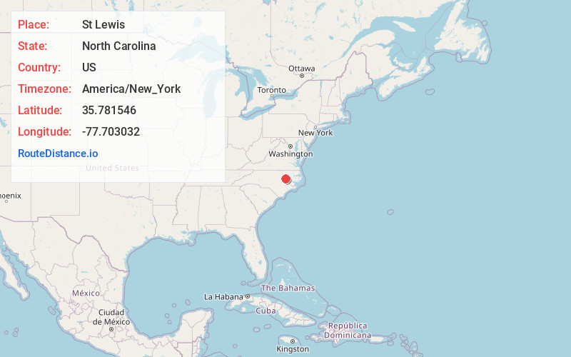
Static map view of St Lewis, North Carolina
Browse Places by Distance
Places within specific distances from St Lewis
Short Distances
Long Distances
Click any distance to see all places within that range from St Lewis. Distances shown in miles (1 mile ≈ 1.61 kilometers).