Distance to St Michael, North Dakota

Calculating Your Route
Just a moment while we process your request...
Location Information
-
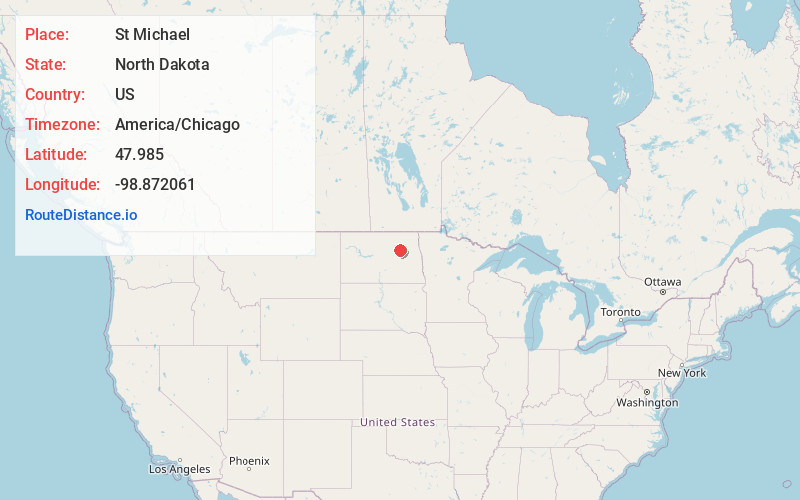
Full AddressSt Michael, ND 58370
-
Coordinates47.9849995, -98.8720612
-
LocationSt Michael , North Dakota , US
-
TimezoneAmerica/Chicago
-
Current Local Time11:07:45 AM America/ChicagoMonday, June 23, 2025
-
Page Views0
About St Michael
Saint Michael is an unincorporated community in southeastern Benson County, North Dakota, United States, on the Spirit Lake Dakota Reservation. It lies along North Dakota Highway 57 in Mission Township, southeast of the city of Minnewaukan, the county seat. It has a post office with the ZIP code 58370.

Nearby Places
Found 10 places within 50 miles

Fort Totten
5.6 mi
9.0 km
Fort Totten, ND
Get directions

Devils Lake
8.8 mi
14.2 km
Devils Lake, ND 58301
Get directions

Warwick
11.7 mi
18.8 km
Warwick, ND 58381
Get directions
Crary
12.3 mi
19.8 km
Crary, ND 58327
Get directions

Sheyenne
15.8 mi
25.4 km
Sheyenne, ND 58374
Get directions
Oberon
15.9 mi
25.6 km
Oberon, ND 58357
Get directions
Hamar
16.9 mi
27.2 km
Hamar, ND 58380
Get directions
Minnewaukan
18.6 mi
29.9 km
Minnewaukan, ND
Get directions
Webster
20.5 mi
33.0 km
Webster, ND
Get directions
Tilden
20.8 mi
33.5 km
Tilden, ND 58351
Get directions
Location Links
Local Weather
Weather Information
Coming soon!
Location Map
Static map view of St Michael, North Dakota
Browse Places by Distance
Places within specific distances from St Michael
Short Distances
Long Distances
Click any distance to see all places within that range from St Michael. Distances shown in miles (1 mile ≈ 1.61 kilometers).