Distance to St Philip, Indiana

Calculating Your Route
Just a moment while we process your request...
Location Information
-
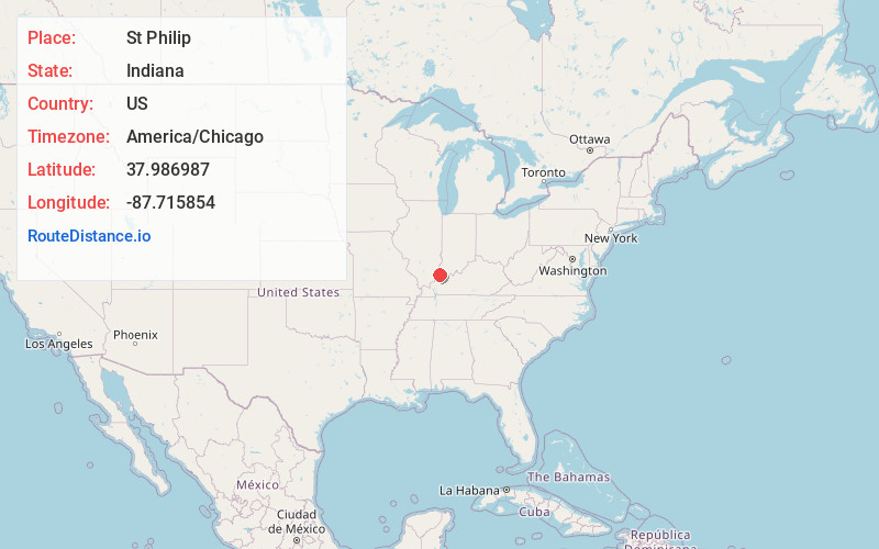
Full AddressSt Philip, Marrs Township, IN 47620
-
Coordinates37.9869867, -87.7158543
-
LocationMarrs Township , Indiana , US
-
TimezoneAmerica/Chicago
-
Current Local Time9:56:32 PM America/ChicagoWednesday, June 25, 2025
-
Page Views0
Nearby Places
Found 10 places within 50 miles

Parkers Settlement
4.1 mi
6.6 km
Parkers Settlement, IN
Get directions

Evansville
8.0 mi
12.9 km
Evansville, IN
Get directions

St Wendel
8.5 mi
13.7 km
St Wendel, IN
Get directions

Wadesville
8.9 mi
14.3 km
Wadesville, IN
Get directions

Mt Vernon
10.5 mi
16.9 km
Mt Vernon, IN 47620
Get directions
Darmstadt
10.8 mi
17.4 km
Darmstadt, IN
Get directions
Melody Hill
11.2 mi
18.0 km
Melody Hill, IN 47711
Get directions

Henderson
12.3 mi
19.8 km
Henderson, KY 42420
Get directions
Grafton
13.1 mi
21.1 km
Grafton, Black Township, IN 47620
Get directions

Poseyville
13.2 mi
21.2 km
Poseyville, IN 47633
Get directions
Location Links
Local Weather
Weather Information
Coming soon!
Location Map
Static map view of St Philip, Indiana
Browse Places by Distance
Places within specific distances from St Philip
Short Distances
Long Distances
Click any distance to see all places within that range from St Philip. Distances shown in miles (1 mile ≈ 1.61 kilometers).