Distance to Stanford, California

Calculating Your Route
Just a moment while we process your request...
Location Information
-
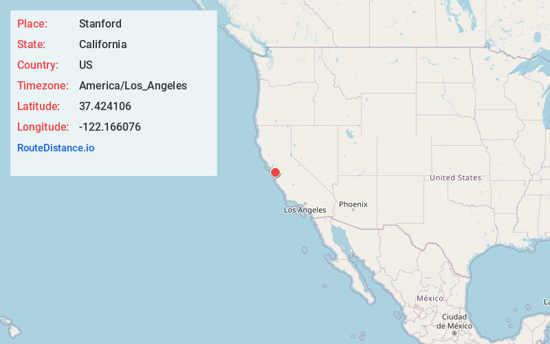
Full AddressStanford, CA
-
Coordinates37.424106, -122.1660756
-
LocationStanford , California , US
-
TimezoneAmerica/Los_Angeles
-
Current Local Time5:02:13 AM America/Los_AngelesMonday, May 19, 2025
-
Page Views0
About Stanford
Stanford is a census-designated place in the northwest corner of Santa Clara County, California, United States. It is the home of Stanford University, after which it was named. The CDP's population was 21,150 at the 2020 census.


Nearby Places
Found 10 places within 50 miles

Palo Alto
1.8 mi
2.9 km
Palo Alto, CA
Get directions

Menlo Park
2.2 mi
3.5 km
Menlo Park, CA
Get directions

East Palo Alto
3.4 mi
5.5 km
East Palo Alto, CA
Get directions

Los Altos
3.9 mi
6.3 km
Los Altos, CA
Get directions

Mountain View
5.2 mi
8.4 km
Mountain View, CA
Get directions

Redwood City
5.4 mi
8.7 km
Redwood City, CA
Get directions

San Carlos
7.7 mi
12.4 km
San Carlos, CA
Get directions

Sunnyvale
8.1 mi
13.0 km
Sunnyvale, CA
Get directions

Belmont
9.0 mi
14.5 km
Belmont, CA
Get directions

Newark
10.1 mi
16.3 km
Newark, CA 94560
Get directions
Location Links
Local Weather
Weather Information
Coming soon!
Location Map
Static map view of Stanford, California
Browse Places by Distance
Places within specific distances from Stanford
Short Distances
Long Distances
Click any distance to see all places within that range from Stanford. Distances shown in miles (1 mile ≈ 1.61 kilometers).