Distance to Stanford, Arkansas

Calculating Your Route
Just a moment while we process your request...
Location Information
-
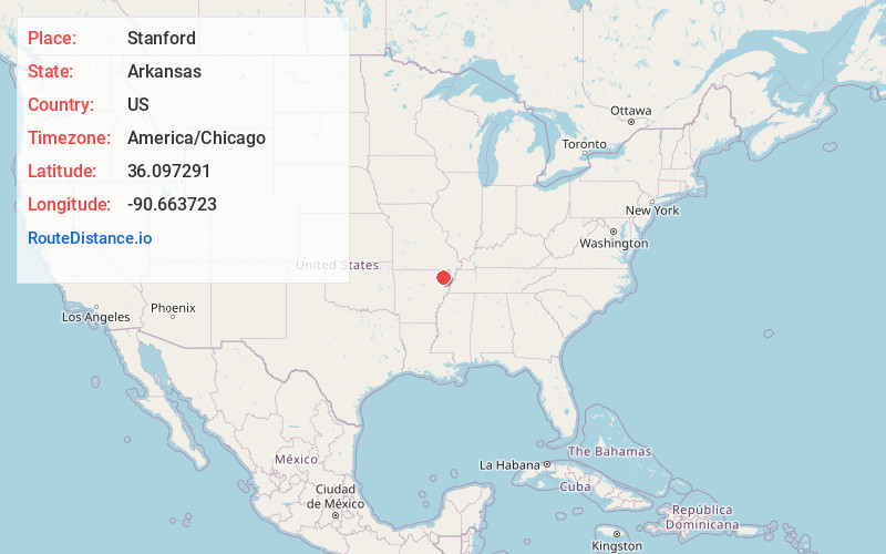
Full AddressStanford, AR 72450
-
Coordinates36.0972906, -90.6637225
-
LocationArkansas , US
-
TimezoneAmerica/Chicago
-
Current Local Time11:13:04 AM America/ChicagoMonday, June 23, 2025
-
Page Views0
Nearby Places
Found 10 places within 50 miles

Walcott
3.7 mi
6.0 km
Walcott, AR 72450
Get directions

Faulknerville
4.6 mi
7.4 km
Faulknerville, AR 72412
Get directions
Light
5.1 mi
8.2 km
Light, AR 72412
Get directions
Evening Star
6.2 mi
10.0 km
Evening Star, AR 72412
Get directions
Finch
6.4 mi
10.3 km
Finch, AR 72450
Get directions
Lorado
8.1 mi
13.0 km
Lorado, AR 72401
Get directions

Oak Grove Heights
8.7 mi
14.0 km
Oak Grove Heights, AR 72450
Get directions
Rock Hill
9.2 mi
14.8 km
Rock Hill, Paragould, AR 72450
Get directions
Case
9.4 mi
15.1 km
Case, AR 72425
Get directions
Gainesville
9.7 mi
15.6 km
Gainesville, AR 72450
Get directions
Location Links
Local Weather
Weather Information
Coming soon!
Location Map
Static map view of Stanford, Arkansas
Browse Places by Distance
Places within specific distances from Stanford
Short Distances
Long Distances
Click any distance to see all places within that range from Stanford. Distances shown in miles (1 mile ≈ 1.61 kilometers).