Distance to Rock Hill, Arkansas

Calculating Your Route
Just a moment while we process your request...
Location Information
-
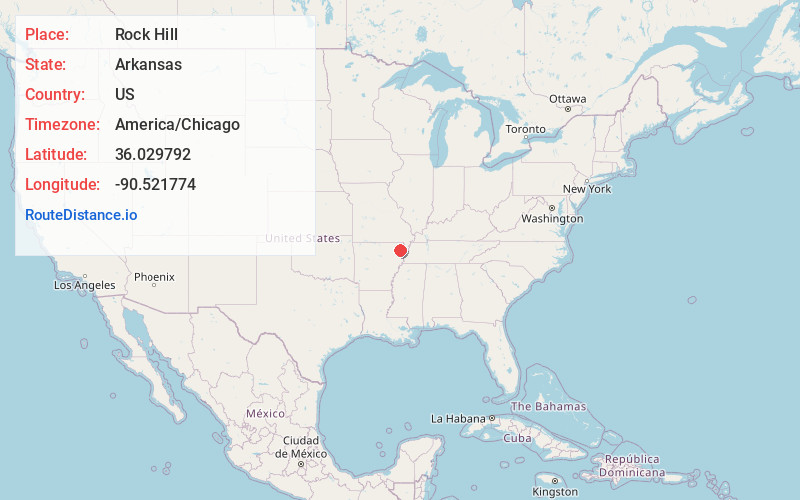
Full AddressRock Hill, Paragould, AR 72450
-
Coordinates36.0297918, -90.5217739
-
LocationParagould , Arkansas , US
-
TimezoneAmerica/Chicago
-
Current Local Time12:05:00 AM America/ChicagoThursday, June 19, 2025
-
Page Views0
Nearby Places
Found 10 places within 50 miles

Paragould
2.4 mi
3.9 km
Paragould, AR 72450
Get directions

Tunis
4.5 mi
7.2 km
Tunis, AR 72450
Get directions
Noxburn
5.9 mi
9.5 km
Noxburn, AR 72450
Get directions

Oak Grove Heights
6.1 mi
9.8 km
Oak Grove Heights, AR 72450
Get directions
Goobertown
6.2 mi
10.0 km
Goobertown, AR 72417
Get directions
Schug
6.3 mi
10.1 km
Schug, AR 72450
Get directions
Halliday
8.0 mi
12.9 km
Halliday, AR 72443
Get directions

Walcott
8.4 mi
13.5 km
Walcott, AR 72450
Get directions
Dixie
8.5 mi
13.7 km
Dixie, AR 72437
Get directions
Bard
8.7 mi
14.0 km
Bard, AR 72450
Get directions
Location Links
Local Weather
Weather Information
Coming soon!
Location Map
Static map view of Rock Hill, Arkansas
Browse Places by Distance
Places within specific distances from Rock Hill
Short Distances
Long Distances
Click any distance to see all places within that range from Rock Hill. Distances shown in miles (1 mile ≈ 1.61 kilometers).