Distance to Halliday, Arkansas

Calculating Your Route
Just a moment while we process your request...
Location Information
-
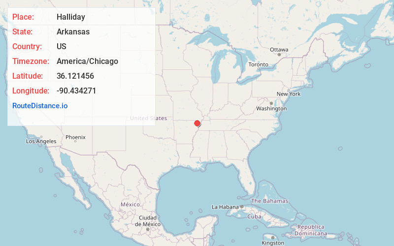
Full AddressHalliday, AR 72443
-
Coordinates36.1214559, -90.4342711
-
LocationArkansas , US
-
TimezoneAmerica/Chicago
-
Current Local Time7:25:42 AM America/ChicagoWednesday, May 28, 2025
-
Page Views0
Nearby Places
Found 10 places within 50 miles

Noxburn
2.8 mi
4.5 km
Noxburn, AR 72450
Get directions

Oak Grove Heights
4.2 mi
6.8 km
Oak Grove Heights, AR 72450
Get directions

Marmaduke
5.3 mi
8.5 km
Marmaduke, AR 72443
Get directions

Paragould
5.6 mi
9.0 km
Paragould, AR 72450
Get directions
Bertig
6.7 mi
10.8 km
Bertig, AR 72450
Get directions

Lafe
7.2 mi
11.6 km
Lafe, AR
Get directions
Hargrove
7.4 mi
11.9 km
Hargrove, Buffalo Township, MO 63829
Get directions
Mounds
8.2 mi
13.2 km
Mounds, AR 72461
Get directions
Buck Donic
8.3 mi
13.4 km
Buck Donic, Buffalo Township, MO 63829
Get directions

Cardwell
9.4 mi
15.1 km
Cardwell, MO 63829
Get directions
Location Links
Local Weather
Weather Information
Coming soon!
Location Map
Static map view of Halliday, Arkansas
Browse Places by Distance
Places within specific distances from Halliday
Short Distances
Long Distances
Click any distance to see all places within that range from Halliday. Distances shown in miles (1 mile ≈ 1.61 kilometers).