Distance to Stanton, Minnesota

Calculating Your Route
Just a moment while we process your request...
Location Information
-
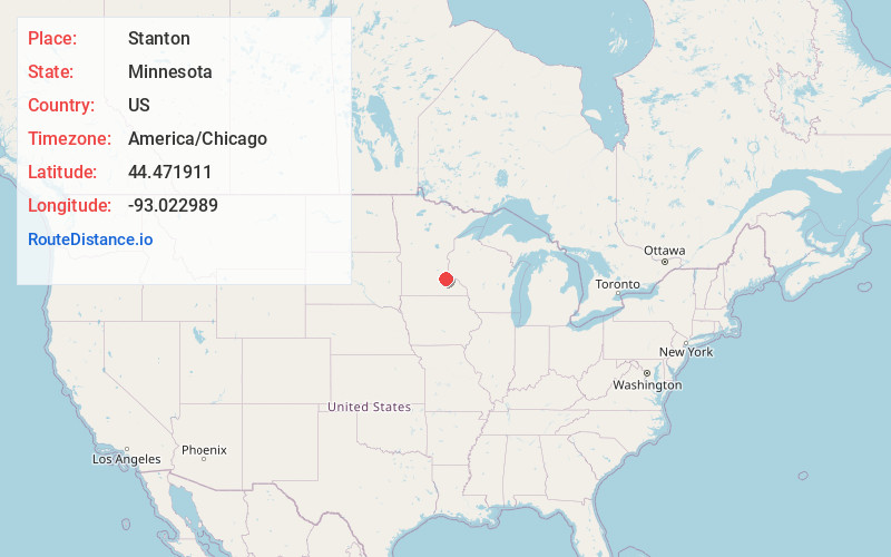
Full AddressStanton, MN 55018
-
Coordinates44.4719109, -93.0229887
-
LocationStanton , Minnesota , US
-
TimezoneAmerica/Chicago
-
Current Local Time5:40:22 PM America/ChicagoFriday, June 20, 2025
-
Page Views0
About Stanton
Stanton is an unincorporated community in Stanton Township, Goodhue County, Minnesota, United States.
The center of Stanton is generally considered near the junction of State Highway 19 and State Highway 56. Nearby places include Northfield, Dennison, Randolph, and Cannon Falls.
Nearby Places
Found 10 places within 50 miles

Randolph
3.7 mi
6.0 km
Randolph, MN
Get directions

Dennison
4.6 mi
7.4 km
Dennison, MN 55018
Get directions

Wangs
5.0 mi
8.0 km
Wangs, Warsaw Township, MN 55018
Get directions
Waterford
6.0 mi
9.7 km
Waterford, MN 55057
Get directions

Cannon Falls
6.3 mi
10.1 km
Cannon Falls, MN 55009
Get directions
Sogn
6.5 mi
10.5 km
Sogn, Warsaw Township, MN 55018
Get directions

Northfield
6.9 mi
11.1 km
Northfield, MN 55057
Get directions

Castle Rock
8.1 mi
13.0 km
Castle Rock, MN 55057
Get directions

Nerstrand
9.3 mi
15.0 km
Nerstrand, MN 55053
Get directions

Dundas
9.3 mi
15.0 km
Dundas, MN
Get directions
Location Links
Local Weather
Weather Information
Coming soon!
Location Map
Static map view of Stanton, Minnesota
Browse Places by Distance
Places within specific distances from Stanton
Short Distances
Long Distances
Click any distance to see all places within that range from Stanton. Distances shown in miles (1 mile ≈ 1.61 kilometers).