Distance to Star, Texas

Calculating Your Route
Just a moment while we process your request...
Location Information
-
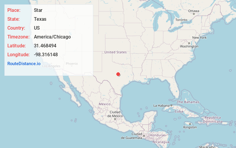
Full AddressStar, TX 76844
-
Coordinates31.4684944, -98.3161482
-
LocationStar , Texas , US
-
TimezoneAmerica/Chicago
-
Current Local Time9:29:26 AM America/ChicagoSaturday, May 31, 2025
-
Page Views0
About Star
Star is an unincorporated community in Mills County in Central Texas, United States. According to the Handbook of Texas, the community had an estimated population of 85 in 2000.
Nearby Places
Found 10 places within 50 miles

Moline
5.9 mi
9.5 km
Moline, TX 76844
Get directions

Evant
9.7 mi
15.6 km
Evant, TX 76525
Get directions
Castor
13.4 mi
21.6 km
Castor, TX 76844
Get directions
Scallorn
13.4 mi
21.6 km
Scallorn, TX 76844
Get directions
Pottsville
14.2 mi
22.9 km
Pottsville, TX 76565
Get directions
Ohio
14.4 mi
23.2 km
Ohio, TX 76566
Get directions

Goldthwaite
15.1 mi
24.3 km
Goldthwaite, TX 76844
Get directions

Pearl
17.0 mi
27.4 km
Pearl, TX 76525
Get directions

Lometa
18.0 mi
29.0 km
Lometa, TX 76853
Get directions

Priddy
18.3 mi
29.5 km
Priddy, TX 76442
Get directions
Location Links
Local Weather
Weather Information
Coming soon!
Location Map
Static map view of Star, Texas
Browse Places by Distance
Places within specific distances from Star
Short Distances
Long Distances
Click any distance to see all places within that range from Star. Distances shown in miles (1 mile ≈ 1.61 kilometers).