Distance to Starbuck, Washington

Calculating Your Route
Just a moment while we process your request...
Location Information
-
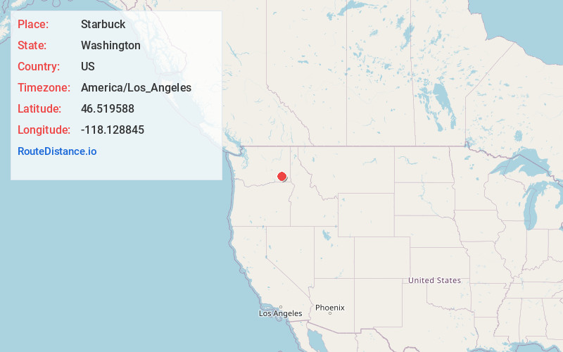
Full AddressStarbuck, WA
-
Coordinates46.5195882, -118.128845
-
LocationStarbuck , Washington , US
-
TimezoneAmerica/Los_Angeles
-
Current Local Time1:05:57 AM America/Los_AngelesWednesday, June 18, 2025
-
Website
-
Page Views0
About Starbuck
Starbuck is a town in Columbia County, Washington, United States. The population was 119 at the 2020 census.


Nearby Places
Found 10 places within 50 miles

Dayton
15.4 mi
24.8 km
Dayton, WA 99328
Get directions

Waitsburg
17.3 mi
27.8 km
Waitsburg, WA 99361
Get directions

Prescott
17.6 mi
28.3 km
Prescott, WA 99348
Get directions

Washtucna
18.5 mi
29.8 km
Washtucna, WA 99371
Get directions

Kahlotus
22.1 mi
35.6 km
Kahlotus, WA
Get directions

LaCrosse
23.5 mi
37.8 km
LaCrosse, WA 99143
Get directions

Pomeroy
25.2 mi
40.6 km
Pomeroy, WA 99347
Get directions

Dixie
26.2 mi
42.2 km
Dixie, WA
Get directions

Walla Walla
33.1 mi
53.3 km
Walla Walla, WA 99362
Get directions

Garrett
34.0 mi
54.7 km
Garrett, WA 99362
Get directions
Location Links
Local Weather
Weather Information
Coming soon!
Location Map
Static map view of Starbuck, Washington
Browse Places by Distance
Places within specific distances from Starbuck
Short Distances
Long Distances
Click any distance to see all places within that range from Starbuck. Distances shown in miles (1 mile ≈ 1.61 kilometers).