Distance to Starks, Louisiana

Calculating Your Route
Just a moment while we process your request...
Location Information
-
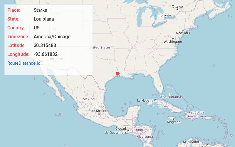
Full AddressStarks, LA 70661
-
Coordinates30.3154826, -93.6618318
-
LocationStarks , Louisiana , US
-
TimezoneAmerica/Chicago
-
Current Local Time8:28:52 PM America/ChicagoFriday, June 6, 2025
-
Page Views0
About Starks
Starks is an unincorporated community and census-designated place in Calcasieu Parish, Louisiana, United States. As of the 2010 census it had a population of 664. It is located approximately 30 miles northwest of Lake Charles and about 5 miles from the Texas and Louisiana border.

Nearby Places
Found 10 places within 50 miles

Deweyville
5.0 mi
8.0 km
Deweyville, TX
Get directions

Forest Heights
7.9 mi
12.7 km
Forest Heights, TX 77632
Get directions

Vinton
9.8 mi
15.8 km
Vinton, LA 70668
Get directions

Little Cypress
11.8 mi
19.0 km
Little Cypress, TX 77632
Get directions
Mauriceville
14.4 mi
23.2 km
Mauriceville, TX 77632
Get directions

Orange
16.0 mi
25.7 km
Orange, TX
Get directions

Dequincy
16.5 mi
26.6 km
Dequincy, LA 70633
Get directions
West Orange
17.1 mi
27.5 km
West Orange, TX 77630
Get directions

Sulphur
17.8 mi
28.6 km
Sulphur, LA
Get directions
Buna
19.7 mi
31.7 km
Buna, TX 77612
Get directions
Location Links
Local Weather
Weather Information
Coming soon!
Location Map
Static map view of Starks, Louisiana
Browse Places by Distance
Places within specific distances from Starks
Short Distances
Long Distances
Click any distance to see all places within that range from Starks. Distances shown in miles (1 mile ≈ 1.61 kilometers).