Distance to Starvation Heights, Oregon

Calculating Your Route
Just a moment while we process your request...
Location Information
-
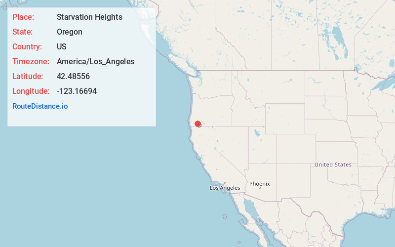
Full AddressStarvation Heights, OR 97537
-
Coordinates42.48556, -123.16694
-
LocationStarvation Heights , Oregon , US
-
TimezoneAmerica/Los_Angeles
-
Current Local Time8:10:50 AM America/Los_AngelesThursday, June 19, 2025
-
Page Views0
About Starvation Heights
Starvation Heights is an unincorporated community in Jackson County, in the U.S. state of Oregon. It is about 4 miles north of the community of Rogue River, and 9 miles east-northeast of Grants Pass. It lies along East Evans Creek Road off Interstate 5 and Oregon Route 99.
Nearby Places
Found 10 places within 50 miles

Rogue River
3.4 mi
5.5 km
Rogue River, OR
Get directions

Wimer
3.8 mi
6.1 km
Wimer, OR 97537
Get directions

Foots Creek
5.8 mi
9.3 km
Foots Creek, OR 97525
Get directions

Gold Hill
7.0 mi
11.3 km
Gold Hill, OR 97525
Get directions

Grants Pass
8.8 mi
14.2 km
Grants Pass, OR
Get directions

Tolo
10.9 mi
17.5 km
Tolo, OR 97502
Get directions

Redwood
12.1 mi
19.5 km
Redwood, OR 97527
Get directions
Placer
12.6 mi
20.3 km
Placer, OR 97497
Get directions

Murphy
12.7 mi
20.4 km
Murphy, OR 97527
Get directions

Merlin
13.1 mi
21.1 km
Merlin, OR
Get directions
Location Links
Local Weather
Weather Information
Coming soon!
Location Map
Static map view of Starvation Heights, Oregon
Browse Places by Distance
Places within specific distances from Starvation Heights
Short Distances
Long Distances
Click any distance to see all places within that range from Starvation Heights. Distances shown in miles (1 mile ≈ 1.61 kilometers).