Distance to Steins, New Mexico

Calculating Your Route
Just a moment while we process your request...
Location Information
-
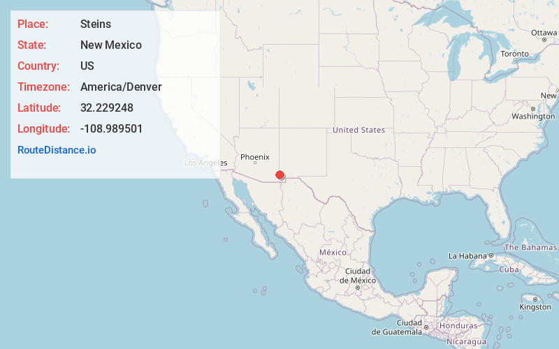
Full AddressSteins, NM 88045
-
Coordinates32.2292481, -108.9895014
-
LocationNew Mexico , US
-
TimezoneAmerica/Denver
-
Current Local Time2:10:24 PM America/DenverWednesday, June 4, 2025
-
Page Views0
About Steins
Steins is a ghost town in Stein's Pass of Hidalgo County, New Mexico. It was originally called Stein's Pass after the nearby pass through the Peloncillo Mountains. The pass was named after United States Army Major Enoch Steen, who camped nearby in 1856, as he explored the recently acquired Gadsden Purchase.


Nearby Places
Found 10 places within 50 miles

Roadforks
1.8 mi
2.9 km
Roadforks, NM 88020
Get directions

Mondel
4.9 mi
7.9 km
Mondel, NM 88020
Get directions
Cotton City
11.7 mi
18.8 km
Cotton City, NM 88020
Get directions

San Simon
14.1 mi
22.7 km
San Simon, AZ 85632
Get directions

Lordsburg
18.4 mi
29.6 km
Lordsburg, NM 88045
Get directions
Glen Acres
18.8 mi
30.3 km
Glen Acres, NM 88045
Get directions
Yellow Hammer Mill
19.8 mi
31.9 km
Yellow Hammer Mill, AZ 85632
Get directions

Portal
23.5 mi
37.8 km
Portal, AZ 85632
Get directions
Windmill
27.5 mi
44.3 km
Windmill, NM 88020
Get directions

Bowie
29.8 mi
48.0 km
Bowie, AZ 85605
Get directions
Location Links
Local Weather
Weather Information
Coming soon!
Location Map
Static map view of Steins, New Mexico
Browse Places by Distance
Places within specific distances from Steins
Short Distances
Long Distances
Click any distance to see all places within that range from Steins. Distances shown in miles (1 mile ≈ 1.61 kilometers).