Distance to Stephens, Georgia

Calculating Your Route
Just a moment while we process your request...
Location Information
-
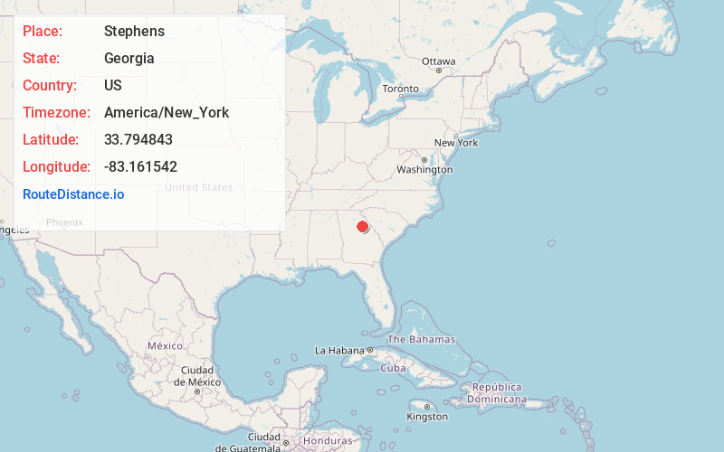
Full AddressStephens, GA 30667
-
Coordinates33.794843, -83.1615422
-
LocationStephens , Georgia , US
-
TimezoneAmerica/New_York
-
Current Local Time9:18:23 PM America/New_YorkFriday, June 13, 2025
-
Page Views0
About Stephens
Stephens is an unincorporated community in Oglethorpe County, Georgia, United States. As of the 2010 census, the ZIP Code Tabulation Area for Stephens' post office had a population of 1035.
Nearby Places
Found 10 places within 50 miles

Maxeys
2.9 mi
4.7 km
Maxeys, GA
Get directions

Lexington
5.9 mi
9.5 km
Lexington, GA 30648
Get directions

Crawford
6.1 mi
9.8 km
Crawford, GA 30630
Get directions

Hogan
7.0 mi
11.3 km
Hogan, GA 30648
Get directions
Bairdstown
7.1 mi
11.4 km
Bairdstown, GA 30669
Get directions

Arnoldsville
8.3 mi
13.4 km
Arnoldsville, GA
Get directions

Penfield
8.9 mi
14.3 km
Penfield, GA 30669
Get directions

Woodville
9.1 mi
14.6 km
Woodville, GA 30669
Get directions
Temperance Bell
10.5 mi
16.9 km
Temperance Bell, GA 30669
Get directions
Elder
10.8 mi
17.4 km
Elder, GA 30677
Get directions
Location Links
Local Weather
Weather Information
Coming soon!
Location Map
Static map view of Stephens, Georgia
Browse Places by Distance
Places within specific distances from Stephens
Short Distances
Long Distances
Click any distance to see all places within that range from Stephens. Distances shown in miles (1 mile ≈ 1.61 kilometers).