Distance to Penfield, Georgia

Calculating Your Route
Just a moment while we process your request...
Location Information
-
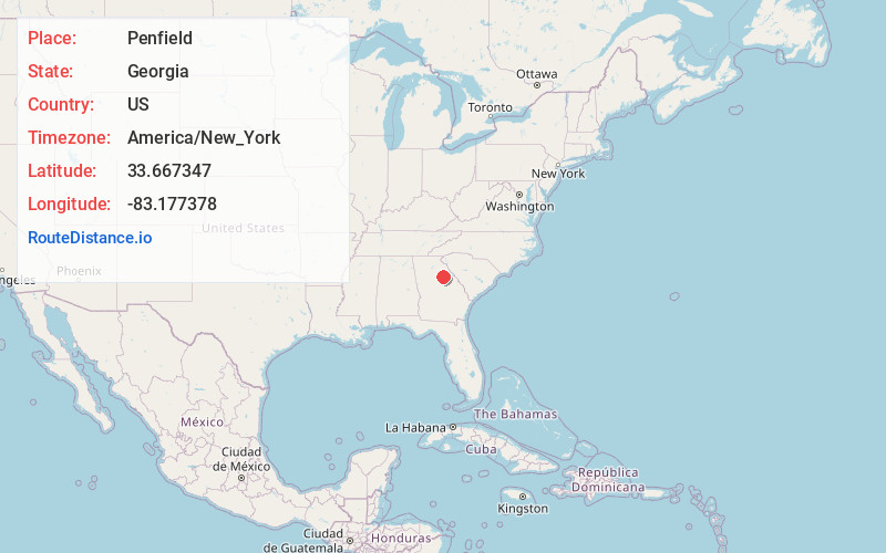
Full AddressPenfield, GA 30669
-
Coordinates33.667347, -83.1773776
-
LocationPenfield , Georgia , US
-
TimezoneAmerica/New_York
-
Current Local Time12:26:58 AM America/New_YorkThursday, June 5, 2025
-
Page Views0
About Penfield
Penfield, Georgia, United States was established shortly after 1829 in Greene County, and named in honor of Josiah Penfield, a Savannah merchant and silversmith from Fairfield, Connecticut, who bequeathed $2,500 and a financial challenge to the Georgia Baptist Convention to match his gift for educational purposes.

Nearby Places
Found 10 places within 50 miles

Woodville
4.1 mi
6.6 km
Woodville, GA 30669
Get directions

Maxeys
6.0 mi
9.7 km
Maxeys, GA
Get directions

Greensboro
6.3 mi
10.1 km
Greensboro, GA 30642
Get directions

Union Point
6.9 mi
11.1 km
Union Point, GA 30669
Get directions

Wrayswood
8.1 mi
13.0 km
Wrayswood, GA 30650
Get directions
Durham Town
8.3 mi
13.4 km
Durham Town, GA 30669
Get directions

Siloam
10.6 mi
17.1 km
Siloam, GA 30642
Get directions

Lexington
14.5 mi
23.3 km
Lexington, GA 30648
Get directions

Crawford
15.0 mi
24.1 km
Crawford, GA 30630
Get directions
White Plains
15.8 mi
25.4 km
White Plains, GA 30678
Get directions
Location Links
Local Weather
Weather Information
Coming soon!
Location Map
Static map view of Penfield, Georgia
Browse Places by Distance
Places within specific distances from Penfield
Short Distances
Long Distances
Click any distance to see all places within that range from Penfield. Distances shown in miles (1 mile ≈ 1.61 kilometers).