Distance to Sterling, Connecticut

Calculating Your Route
Just a moment while we process your request...
Location Information
-
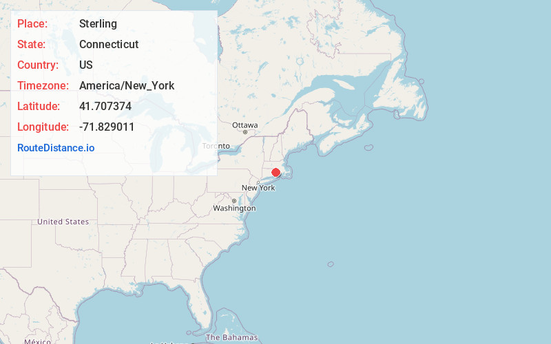
Full AddressSterling, CT
-
Coordinates41.7073744, -71.8290112
-
LocationSterling , Connecticut , US
-
TimezoneAmerica/New_York
-
Current Local Time1:02:15 PM America/New_YorkThursday, June 19, 2025
-
Page Views0
About Sterling
Sterling is a town in Windham County, Connecticut, United States. The town is part of the Northeastern Connecticut Planning Region. The population was 3,578 at the 2020 census. The rural town is home to two villages: Oneco and Sterling village. Each contains a post office, a church, and a fire station.


Nearby Places
Found 10 places within 50 miles

Moosup Valley
4.1 mi
6.6 km
Moosup Valley, Foster, RI 02825
Get directions
Ekonk
4.4 mi
7.1 km
Ekonk, Sterling, CT 06354
Get directions
Hopkins Hollow
4.7 mi
7.6 km
Hopkins Hollow, Coventry, RI 02827
Get directions

Danielson, CT
5.8 mi
9.3 km
Danielson, CT, CT
Get directions
Elmville
8.9 mi
14.3 km
Elmville, Killingly, CT 06239
Get directions
North Foster
9.5 mi
15.3 km
North Foster, Foster, RI 02825
Get directions

Voluntown
9.5 mi
15.3 km
Voluntown, CT
Get directions

Killingly
9.6 mi
15.4 km
Killingly, CT
Get directions

Doaneville Pond
10.1 mi
16.3 km
Doaneville Pond, Connecticut
Get directions

West Greenwich
10.1 mi
16.3 km
West Greenwich, RI
Get directions
Location Links
Local Weather
Weather Information
Coming soon!
Location Map
Static map view of Sterling, Connecticut
Browse Places by Distance
Places within specific distances from Sterling
Short Distances
Long Distances
Click any distance to see all places within that range from Sterling. Distances shown in miles (1 mile ≈ 1.61 kilometers).