Distance to Steuben, Ohio

Calculating Your Route
Just a moment while we process your request...
Location Information
-
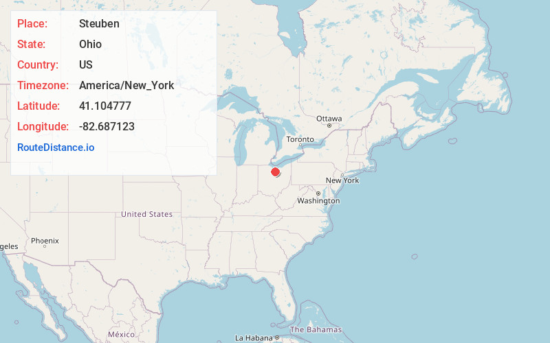
Full AddressSteuben, OH 44890
-
Coordinates41.1047769, -82.6871232
-
LocationSteuben , Ohio , US
-
TimezoneAmerica/New_York
-
Current Local Time11:08:58 PM America/New_YorkWednesday, June 18, 2025
-
Page Views0
About Steuben
Steuben is an unincorporated community in central Greenfield Township, Huron County, Ohio, United States, located a few miles northeast of the village of Willard. It lies along State Route 162 approximately three miles west of North Fairfield.
Nearby Places
Found 10 places within 50 miles

North Fairfield
3.9 mi
6.3 km
North Fairfield, OH 44855
Get directions

Willard
4.1 mi
6.6 km
Willard, OH 44890
Get directions
New Haven
5.0 mi
8.0 km
New Haven, OH
Get directions
Celeryville
5.7 mi
9.2 km
Celeryville, OH 44890
Get directions

Plymouth
7.6 mi
12.2 km
Plymouth, OH 44865
Get directions
New Pittsburgh
7.9 mi
12.7 km
New Pittsburgh, OH 44865
Get directions
Monroeville
9.6 mi
15.4 km
Monroeville, OH 44847
Get directions

Norwalk
10.2 mi
16.4 km
Norwalk, OH
Get directions
Greenwich
10.3 mi
16.6 km
Greenwich, OH 44837
Get directions
Shiloh
10.6 mi
17.1 km
Shiloh, OH 44878
Get directions
Location Links
Local Weather
Weather Information
Coming soon!
Location Map
Static map view of Steuben, Ohio
Browse Places by Distance
Places within specific distances from Steuben
Short Distances
Long Distances
Click any distance to see all places within that range from Steuben. Distances shown in miles (1 mile ≈ 1.61 kilometers).