Distance to Stevens Landing, New York

Calculating Your Route
Just a moment while we process your request...
Location Information
-
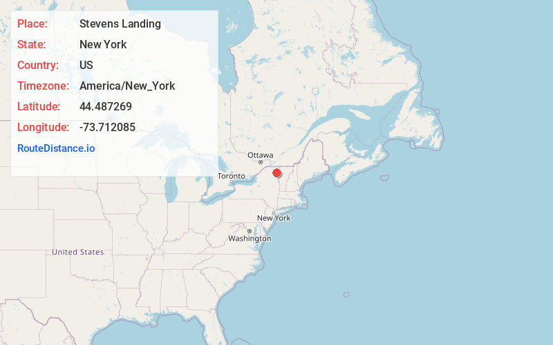
Full AddressStevens Landing, NY 12912
-
Coordinates44.487269, -73.7120851
-
LocationStevens Landing , New York , US
-
TimezoneAmerica/New_York
-
Current Local Time2:40:37 AM America/New_YorkThursday, July 3, 2025
-
Page Views0
Nearby Places
Found 10 places within 50 miles

Black Brook
2.5 mi
4.0 km
Black Brook, NY 12912
Get directions

Swastika
3.0 mi
4.8 km
Swastika, NY 12985
Get directions

Au Sable Forks
3.7 mi
6.0 km
Au Sable Forks, NY 12912
Get directions
North Jay
6.4 mi
10.3 km
North Jay, NY 12912
Get directions

Clintonville
6.6 mi
10.6 km
Clintonville, NY 12924
Get directions
Harkness
7.5 mi
12.1 km
Harkness, NY 12972
Get directions
Hawkeye
7.6 mi
12.2 km
Hawkeye, NY 12985
Get directions
Peasleeville
8.1 mi
13.0 km
Peasleeville, NY 12985
Get directions

Wilmington
8.5 mi
13.7 km
Wilmington, NY 12997
Get directions

Redford
9.5 mi
15.3 km
Redford, NY
Get directions
Location Links
Local Weather
Weather Information
Coming soon!
Location Map
Static map view of Stevens Landing, New York
Browse Places by Distance
Places within specific distances from Stevens Landing
Short Distances
Long Distances
Click any distance to see all places within that range from Stevens Landing. Distances shown in miles (1 mile ≈ 1.61 kilometers).