Distance to Stevensburg, Virginia

Calculating Your Route
Just a moment while we process your request...
Location Information
-
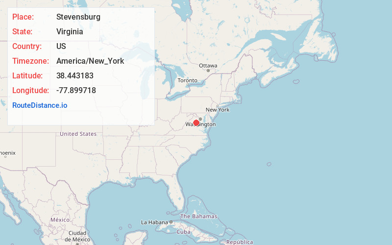
Full AddressStevensburg, VA 22741
-
Coordinates38.4431826, -77.8997175
-
LocationStevensburg , Virginia , US
-
TimezoneAmerica/New_York
-
Current Local Time5:19:22 AM America/New_YorkWednesday, June 18, 2025
-
Page Views0
About Stevensburg
Stevensburg is a small rural unincorporated community located at the intersection of Route 3 and Route 663 in Culpeper County, Virginia, United States. Stevensburg is about 6.9 miles east of Culpeper. Stevensburg's ZIP code is 22741.
Nearby Places
Found 10 places within 50 miles

Brandy Station
4.1 mi
6.6 km
Brandy Station, VA
Get directions

Culpeper
5.6 mi
9.0 km
Culpeper, VA 22701
Get directions

Friendship Heights
6.6 mi
10.6 km
Friendship Heights, VA 22701
Get directions

Remington
8.0 mi
12.9 km
Remington, VA
Get directions
Oakshade
11.2 mi
18.0 km
Oakshade, VA 22737
Get directions
Morrisville
11.5 mi
18.5 km
Morrisville, VA 22712
Get directions

Bealeton
12.0 mi
19.3 km
Bealeton, VA 22712
Get directions
Opal
13.4 mi
21.6 km
Opal, VA
Get directions

Midland
14.2 mi
22.9 km
Midland, VA 22728
Get directions
Boston
14.3 mi
23.0 km
Boston, VA 22713
Get directions
Location Links
Local Weather
Weather Information
Coming soon!
Location Map
Static map view of Stevensburg, Virginia
Browse Places by Distance
Places within specific distances from Stevensburg
Short Distances
Long Distances
Click any distance to see all places within that range from Stevensburg. Distances shown in miles (1 mile ≈ 1.61 kilometers).