Distance to Stover, Virginia

Calculating Your Route
Just a moment while we process your request...
Location Information
-
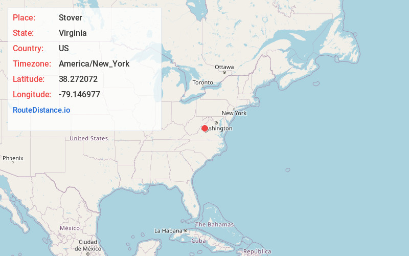
Full AddressStover, VA 24421
-
Coordinates38.2720721, -79.1469774
-
LocationStover , Virginia , US
-
TimezoneAmerica/New_York
-
Current Local Time8:52:17 PM America/New_YorkTuesday, June 24, 2025
-
Page Views0
Nearby Places
Found 10 places within 50 miles

Parnassus
2.2 mi
3.5 km
Parnassus, VA 22843
Get directions

Churchville
3.3 mi
5.3 km
Churchville, VA 24421
Get directions
Roman
7.2 mi
11.6 km
Roman, VA 24467
Get directions
Cedar Green
8.4 mi
13.5 km
Cedar Green, VA 24401
Get directions

Swoope
8.5 mi
13.7 km
Swoope, VA 24479
Get directions

West Augusta
8.7 mi
14.0 km
West Augusta, VA 24485
Get directions
Snyder
8.9 mi
14.3 km
Snyder, VA 24401
Get directions

Verona
8.9 mi
14.3 km
Verona, VA
Get directions

Staunton
9.4 mi
15.1 km
Staunton, VA 24401
Get directions
Trimbles Mill
10.2 mi
16.4 km
Trimbles Mill, VA 24479
Get directions
Location Links
Local Weather
Weather Information
Coming soon!
Location Map
Static map view of Stover, Virginia
Browse Places by Distance
Places within specific distances from Stover
Short Distances
Long Distances
Click any distance to see all places within that range from Stover. Distances shown in miles (1 mile ≈ 1.61 kilometers).