Distance to Sugar Hill, Virginia

Calculating Your Route
Just a moment while we process your request...
Location Information
-
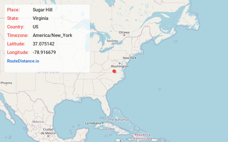
Full AddressSugar Hill, VA 24528
-
Coordinates37.0751424, -78.9166794
-
LocationVirginia , US
-
TimezoneAmerica/New_York
-
Current Local Time3:38:17 AM America/New_YorkWednesday, June 18, 2025
-
Page Views0
Nearby Places
Found 10 places within 50 miles

Brookneal
2.3 mi
3.7 km
Brookneal, VA 24528
Get directions

Hat Creek
3.1 mi
5.0 km
Hat Creek, VA 24528
Get directions
Holts Crossing
3.6 mi
5.8 km
Holts Crossing, VA 24554
Get directions
Terryville
3.7 mi
6.0 km
Terryville, VA 24528
Get directions
North Halifax
4.0 mi
6.4 km
North Halifax, VA 24577
Get directions
Wren
4.8 mi
7.7 km
Wren, VA 23959
Get directions
Naruna
5.2 mi
8.4 km
Naruna, VA 24554
Get directions
Perth
5.9 mi
9.5 km
Perth, VA 24577
Get directions
Clarkton
6.4 mi
10.3 km
Clarkton, VA 24577
Get directions
Acorn
8.6 mi
13.8 km
Acorn, VA 24577
Get directions
Location Links
Local Weather
Weather Information
Coming soon!
Location Map
Static map view of Sugar Hill, Virginia
Browse Places by Distance
Places within specific distances from Sugar Hill
Short Distances
Long Distances
Click any distance to see all places within that range from Sugar Hill. Distances shown in miles (1 mile ≈ 1.61 kilometers).