Distance to Sugarloaf Mountain Park, California

Calculating Your Route
Just a moment while we process your request...
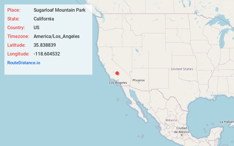
Location Information
-
Full AddressSugarloaf Mountain Park, CA 93260
-
Coordinates35.8388394, -118.6045323
-
LocationSugarloaf Mountain Park , California , US
-
TimezoneAmerica/Los_Angeles
-
Current Local Time3:45:31 PM America/Los_AngelesSaturday, June 21, 2025
-
Page Views0
About Sugarloaf Mountain Park
Sugarloaf Mountain Park is a former census-designated place in Tulare County, California. Sugarloaf Mountain Park sits at an elevation of 5,991 feet. The CDP was first listed in the 2010 U.S. Census although with zero population. The CDP was deleted prior to the 2020 U.S. Census.
Nearby Places
Found 10 places within 50 miles

Sugarloaf Saw Mill
0.7 mi
1.1 km
Sugarloaf Saw Mill, CA 93260
Get directions
Spear Creek Summer Home Tract
1.4 mi
2.3 km
Spear Creek Summer Home Tract, CA 93260
Get directions

White River Summer Home Tract
1.5 mi
2.4 km
White River Summer Home Tract, CA 93260
Get directions

Sugarloaf Village
1.9 mi
3.1 km
Sugarloaf Village, CA 93260
Get directions
McClenney Tract
2.7 mi
4.3 km
McClenney Tract, CA 93260
Get directions

Panorama Heights
2.7 mi
4.3 km
Panorama Heights, CA 93260
Get directions
Poso Park
2.8 mi
4.5 km
Poso Park, CA 93260
Get directions
Pleasant View
3.1 mi
5.0 km
Pleasant View, CA 93260
Get directions

Balance Rock
3.5 mi
5.6 km
Balance Rock, CA 93260
Get directions

Idlewild
4.3 mi
6.9 km
Idlewild, CA 93260
Get directions
Location Links
Local Weather
Weather Information
Coming soon!
Location Map
Static map view of Sugarloaf Mountain Park, California
Browse Places by Distance
Places within specific distances from Sugarloaf Mountain Park
Short Distances
Long Distances
Click any distance to see all places within that range from Sugarloaf Mountain Park. Distances shown in miles (1 mile ≈ 1.61 kilometers).