Distance to Summit, Oklahoma

Calculating Your Route
Just a moment while we process your request...
Location Information
-
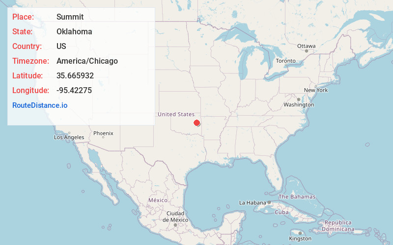
Full AddressSummit, OK 74401
-
Coordinates35.6659324, -95.4227504
-
LocationSummit , Oklahoma , US
-
TimezoneAmerica/Chicago
-
Current Local Time6:49:45 AM America/ChicagoTuesday, June 17, 2025
-
Page Views0
About Summit
Summit is a town in Muskogee County, Oklahoma, United States. It was originally called South Muskogee when it was platted in 1910, and is one of thirteen all-black towns still surviving at the beginning of the 21st century.
Nearby Places
Found 10 places within 50 miles

Muskogee
6.4 mi
10.3 km
Muskogee, OK
Get directions

Oktaha
6.8 mi
10.9 km
Oktaha, OK 74450
Get directions

Wainwright
8.8 mi
14.2 km
Wainwright, OK 74450
Get directions

Taft
9.6 mi
15.4 km
Taft, OK
Get directions

River Bottom
10.4 mi
16.7 km
River Bottom, OK 74403
Get directions

Rentiesville
10.8 mi
17.4 km
Rentiesville, OK
Get directions

Tullahassee
11.7 mi
18.8 km
Tullahassee, OK 74454
Get directions

Braggs
12.6 mi
20.3 km
Braggs, OK
Get directions

Sand Hill
12.9 mi
20.8 km
Sand Hill, OK
Get directions

Boynton
13.2 mi
21.2 km
Boynton, OK
Get directions
Location Links
Local Weather
Weather Information
Coming soon!
Location Map
Static map view of Summit, Oklahoma
Browse Places by Distance
Places within specific distances from Summit
Short Distances
Long Distances
Click any distance to see all places within that range from Summit. Distances shown in miles (1 mile ≈ 1.61 kilometers).