Distance to Sunfair Heights, California

Calculating Your Route
Just a moment while we process your request...
Location Information
-
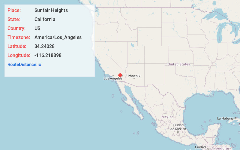
Full AddressSunfair Heights, CA 92252
-
Coordinates34.2402796, -116.2188982
-
LocationSunfair Heights , California , US
-
TimezoneAmerica/Los_Angeles
-
Current Local Time11:07:43 AM America/Los_AngelesTuesday, June 24, 2025
-
Page Views0


Nearby Places
Found 10 places within 50 miles

Joshua Tree
9.1 mi
14.6 km
Joshua Tree, CA
Get directions

Homestead Valley
12.6 mi
20.3 km
Homestead Valley, CA
Get directions

Yucca Valley
15.0 mi
24.1 km
Yucca Valley, CA 92284
Get directions

Pinto Wye
19.0 mi
30.6 km
Pinto Wye, CA 92277
Get directions

Sky Valley
24.6 mi
39.6 km
Sky Valley, CA 92241
Get directions

Morongo Valley
24.6 mi
39.6 km
Morongo Valley, CA 92256
Get directions

Desert Edge
25.2 mi
40.6 km
Desert Edge, CA
Get directions

Garnet
26.6 mi
42.8 km
Garnet, CA
Get directions

Indio Hills
27.9 mi
44.9 km
Indio Hills, CA 92241
Get directions
Bush
30.1 mi
48.4 km
Bush, CA 92277
Get directions
Location Links
Local Weather
Weather Information
Coming soon!
Location Map
Static map view of Sunfair Heights, California
Browse Places by Distance
Places within specific distances from Sunfair Heights
Short Distances
Long Distances
Click any distance to see all places within that range from Sunfair Heights. Distances shown in miles (1 mile ≈ 1.61 kilometers).