Distance to Sunny Side, Texas

Calculating Your Route
Just a moment while we process your request...
Location Information
-
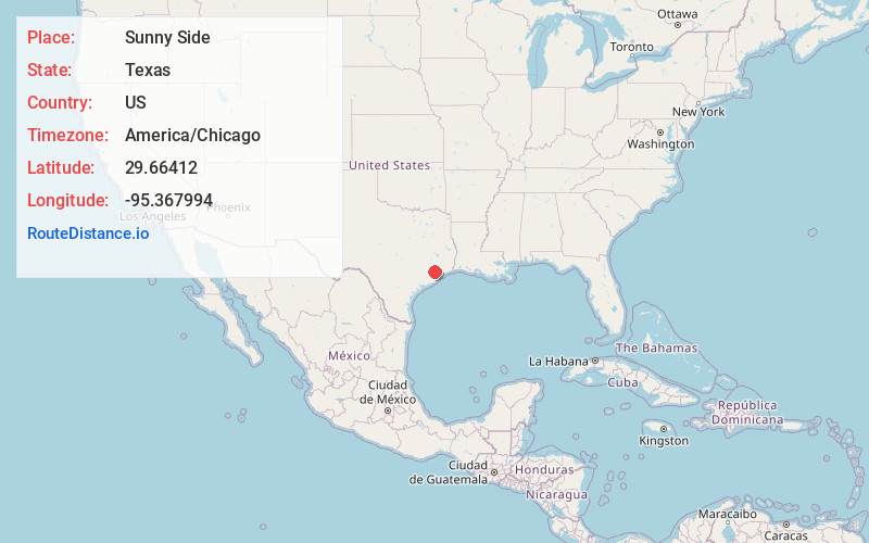
Full AddressSunny Side, Houston, TX 77051
-
Coordinates29.6641199, -95.3679941
-
NeighborhoodSouth Side
-
LocationHouston , Texas , US
-
TimezoneAmerica/Chicago
-
Current Local Time7:15:33 AM America/ChicagoSaturday, June 7, 2025
-
Page Views0
About Sunny Side
Sunnyside is a community in southern Houston, Texas, United States, south of Downtown Houston.
Sunnyside is outside the 610 Loop and inside Beltway 8 off State Highway 288 south of Downtown Houston and is predominantly African American. The community's slogan is "Sunnyside Pride."


Nearby Places
Found 10 places within 50 miles

Southside Place
5.0 mi
8.0 km
Southside Place, TX
Get directions

Bellaire
6.6 mi
10.6 km
Bellaire, TX 77401
Get directions

Houston
6.6 mi
10.6 km
Houston, TX
Get directions

South Houston
8.0 mi
12.9 km
South Houston, TX
Get directions

Pearland
8.5 mi
13.7 km
Pearland, TX
Get directions

Fresno
9.9 mi
15.9 km
Fresno, TX
Get directions

Pasadena
10.3 mi
16.6 km
Pasadena, TX
Get directions

Missouri City
10.5 mi
16.9 km
Missouri City, TX
Get directions

Stafford
11.9 mi
19.2 km
Stafford, TX 77477
Get directions
Fifth Street
11.9 mi
19.2 km
Fifth Street, TX 77477
Get directions
Location Links
Local Weather
Weather Information
Coming soon!
Location Map
Static map view of Sunny Side, Texas
Browse Places by Distance
Places within specific distances from Sunny Side
Short Distances
Long Distances
Click any distance to see all places within that range from Sunny Side. Distances shown in miles (1 mile ≈ 1.61 kilometers).