Distance to Sunol, Nebraska

Calculating Your Route
Just a moment while we process your request...
Location Information
-
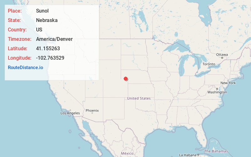
Full AddressSunol, NE
-
Coordinates41.1552634, -102.7635293
-
LocationSunol , Nebraska , US
-
TimezoneAmerica/Denver
-
Current Local Time1:45:06 AM America/DenverMonday, May 19, 2025
-
Page Views0
About Sunol
Sunol is an unincorporated community and census-designated place in Cheyenne County, Nebraska, United States. As of the 2010 census it had a population of 73. Sunol is located in the valley of Lodgepole Creek on U.S. routes 30 and 385, 11 miles east of Sidney, the county seat.
Nearby Places
Found 10 places within 50 miles

Lodgepole
6.5 mi
10.5 km
Lodgepole, NE 69149
Get directions

Sidney
11.2 mi
18.0 km
Sidney, NE 69162
Get directions

Gurley
15.8 mi
25.4 km
Gurley, NE
Get directions

Chappell
16.0 mi
25.7 km
Chappell, NE 69129
Get directions

Sedgwick
19.6 mi
31.5 km
Sedgwick, CO 80749
Get directions

Dalton
20.6 mi
33.2 km
Dalton, NE 69131
Get directions
Peetz
22.5 mi
36.2 km
Peetz, CO 80747
Get directions

Ovid
23.7 mi
38.1 km
Ovid, CO 80744
Get directions

Oshkosh
27.8 mi
44.7 km
Oshkosh, NE 69154
Get directions

Julesburg
28.4 mi
45.7 km
Julesburg, CO 80737
Get directions
Location Links
Local Weather
Weather Information
Coming soon!
Location Map
Static map view of Sunol, Nebraska
Browse Places by Distance
Places within specific distances from Sunol
Short Distances
Long Distances
Click any distance to see all places within that range from Sunol. Distances shown in miles (1 mile ≈ 1.61 kilometers).