Distance to Superstition Mountains, Arizona

Calculating Your Route
Just a moment while we process your request...
Location Information
-
Full AddressSuperstition Mountains, Arizona 85119
-
Coordinates33.475515, -111.1936733
-
LocationArizona , US
-
TimezoneAmerica/Phoenix
-
Current Local Time4:47:00 PM America/PhoenixThursday, June 19, 2025
-
Page Views0
About Superstition Mountains
Mountain range east of Phoenix known for its picturesque volcanic peaks & jagged canyons.


Nearby Places
Found 10 places within 50 miles

Castle Dome
3.7 mi
6.0 km
Castle Dome, Arizona 85119
Get directions

Salt River
8.2 mi
13.2 km
Salt River, Arizona
Get directions

Tortilla Flat
11.8 mi
19.0 km
Tortilla Flat, AZ 85119
Get directions
Horse Mesa
11.9 mi
19.2 km
Horse Mesa, AZ 85119
Get directions

Queen Valley
13.4 mi
21.6 km
Queen Valley, AZ 85118
Get directions
Smelter Town
13.6 mi
21.9 km
Smelter Town, AZ 85118
Get directions

Roosevelt
13.7 mi
22.0 km
Roosevelt, AZ 85545
Get directions

Superior
13.7 mi
22.0 km
Superior, AZ
Get directions

Top-Of-The-World
14.5 mi
23.3 km
Top-Of-The-World, AZ 85539
Get directions

Gold Canyon
16.8 mi
27.0 km
Gold Canyon, AZ
Get directions
Location Links
Local Weather
Weather Information
Coming soon!
Location Map
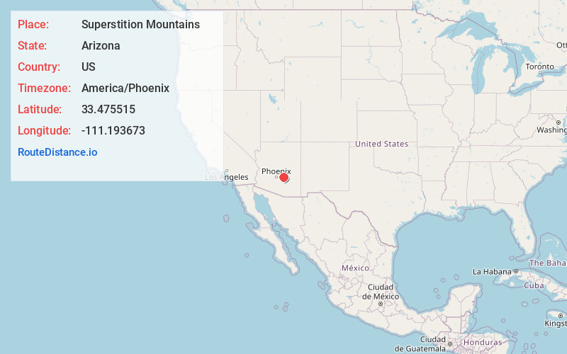
Static map view of Superstition Mountains, Arizona
Browse Places by Distance
Places within specific distances from Superstition Mountains
Short Distances
Long Distances
Click any distance to see all places within that range from Superstition Mountains. Distances shown in miles (1 mile ≈ 1.61 kilometers).