Distance to Horse Mesa, Arizona

Calculating Your Route
Just a moment while we process your request...
Location Information
-
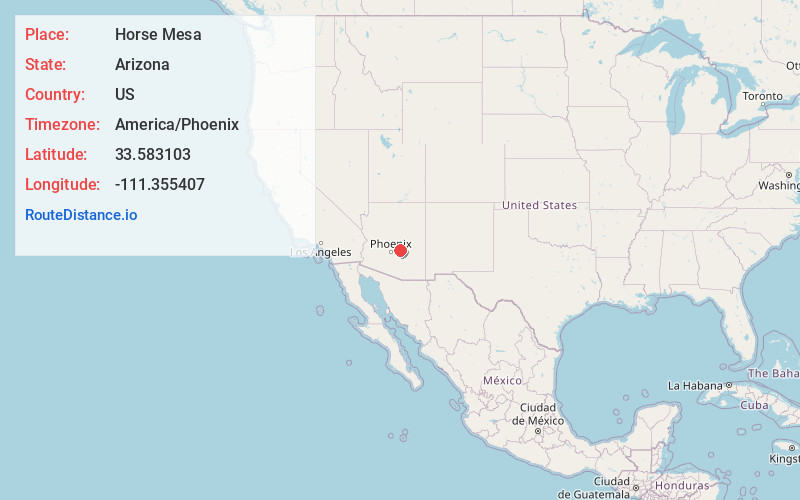
Full AddressHorse Mesa, AZ 85119
-
Coordinates33.583103, -111.3554072
-
LocationArizona , US
-
TimezoneAmerica/Phoenix
-
Current Local Time11:35:37 AM America/PhoenixSunday, June 15, 2025
-
Page Views0
Nearby Places
Found 10 places within 50 miles

Tortilla Flat
4.4 mi
7.1 km
Tortilla Flat, AZ 85119
Get directions

Roosevelt
14.0 mi
22.5 km
Roosevelt, AZ 85545
Get directions

Apache Junction
16.2 mi
26.1 km
Apache Junction, AZ
Get directions

Gold Canyon
16.4 mi
26.4 km
Gold Canyon, AZ
Get directions

Tonto Basin
18.6 mi
29.9 km
Tonto Basin, AZ 85553
Get directions

Fort McDowell
18.7 mi
30.1 km
Fort McDowell, AZ 85264
Get directions

Desert Vista Estates III
19.3 mi
31.1 km
Desert Vista Estates III, AZ 85207
Get directions
Silver Spur Village
19.3 mi
31.1 km
Silver Spur Village, AZ 85207
Get directions

Queen Valley
20.0 mi
32.2 km
Queen Valley, AZ 85118
Get directions
Walnut Creek
20.1 mi
32.3 km
Walnut Creek, Tonto Basin, AZ 85553
Get directions
Location Links
Local Weather
Weather Information
Coming soon!
Location Map
Static map view of Horse Mesa, Arizona
Browse Places by Distance
Places within specific distances from Horse Mesa
Short Distances
Long Distances
Click any distance to see all places within that range from Horse Mesa. Distances shown in miles (1 mile ≈ 1.61 kilometers).