Distance to Sutallee, Georgia

Calculating Your Route
Just a moment while we process your request...
Location Information
-
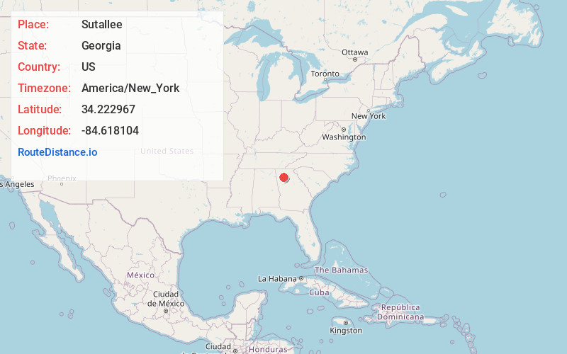
Full AddressSutallee, GA 30184
-
Coordinates34.2229673, -84.6181044
-
LocationSutallee , Georgia , US
-
TimezoneAmerica/New_York
-
Current Local Time10:03:44 AM America/New_YorkSaturday, June 28, 2025
-
Page Views0
About Sutallee
Sutallee is an unincorporated community in western Cherokee County, Georgia, United States. Located about two miles northwest of current-day Lake Allatoona, it is one of the county's earliest white settlements.
Nearby Places
Found 10 places within 50 miles

Laffingal
2.8 mi
4.5 km
Laffingal, GA 30184
Get directions

Corbin
4.4 mi
7.1 km
Corbin, GA 30184
Get directions
Rowland Spring
7.0 mi
11.3 km
Rowland Spring, GA 30121
Get directions
Univeter
7.0 mi
11.3 km
Univeter, GA 30115
Get directions
North Canton
7.2 mi
11.6 km
North Canton, Canton, GA 30114
Get directions

Canton
7.3 mi
11.7 km
Canton, GA
Get directions

Waleska
7.5 mi
12.1 km
Waleska, GA 30183
Get directions
Holly Springs
7.5 mi
12.1 km
Holly Springs, GA
Get directions
Aubrey
8.2 mi
13.2 km
Aubrey, GA 30184
Get directions

White
8.4 mi
13.5 km
White, GA 30184
Get directions
Location Links
Local Weather
Weather Information
Coming soon!
Location Map
Static map view of Sutallee, Georgia
Browse Places by Distance
Places within specific distances from Sutallee
Short Distances
Long Distances
Click any distance to see all places within that range from Sutallee. Distances shown in miles (1 mile ≈ 1.61 kilometers).