Distance to White, Georgia

Calculating Your Route
Just a moment while we process your request...
Location Information
-
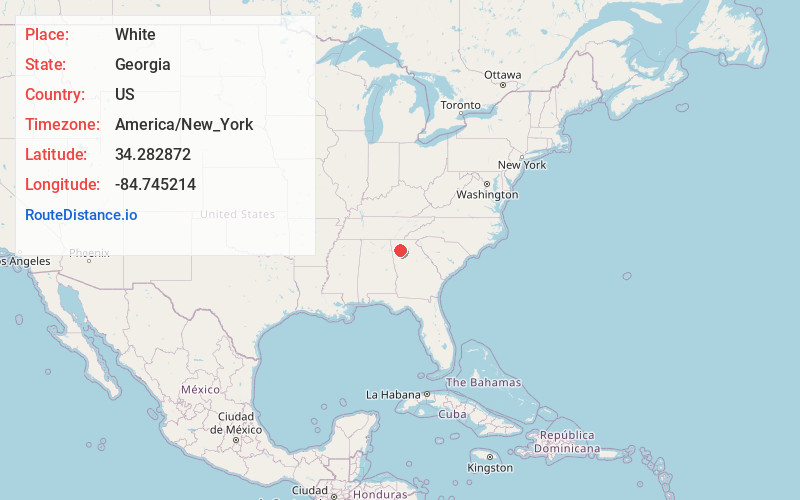
Full AddressWhite, GA 30184
-
Coordinates34.2828722, -84.7452138
-
LocationWhite , Georgia , US
-
TimezoneAmerica/New_York
-
Current Local Time5:53:00 PM America/New_YorkThursday, June 5, 2025
-
Page Views0
About White
White is a city in Bartow County, Georgia, United States. The population was 661 at the 2020 census.
White is located along U.S. Highway 411, 3 miles north of Interstate 75. It is a bedroom community of Cartersville, which is located 9 miles to the south, but they are connected by a chain of homes and retail shops.


Nearby Places
Found 10 places within 50 miles

Cartersville
8.7 mi
14.0 km
Cartersville, GA
Get directions

Emerson
10.8 mi
17.4 km
Emerson, GA
Get directions

Fairmount
10.9 mi
17.5 km
Fairmount, GA 30139
Get directions

Adairsville
12.3 mi
19.8 km
Adairsville, GA 30103
Get directions

Euharlee
14.4 mi
23.2 km
Euharlee, GA
Get directions

Canton
14.9 mi
24.0 km
Canton, GA
Get directions

Acworth
15.5 mi
24.9 km
Acworth, GA
Get directions

Holly Springs
15.8 mi
25.4 km
Holly Springs, GA
Get directions

Woodstock
18.0 mi
29.0 km
Woodstock, GA
Get directions

Calhoun
19.2 mi
30.9 km
Calhoun, GA
Get directions
Location Links
Local Weather
Weather Information
Coming soon!
Location Map
Static map view of White, Georgia
Browse Places by Distance
Places within specific distances from White
Short Distances
Long Distances
Click any distance to see all places within that range from White. Distances shown in miles (1 mile ≈ 1.61 kilometers).