Distance to Rowland Spring, Georgia

Calculating Your Route
Just a moment while we process your request...
Location Information
-
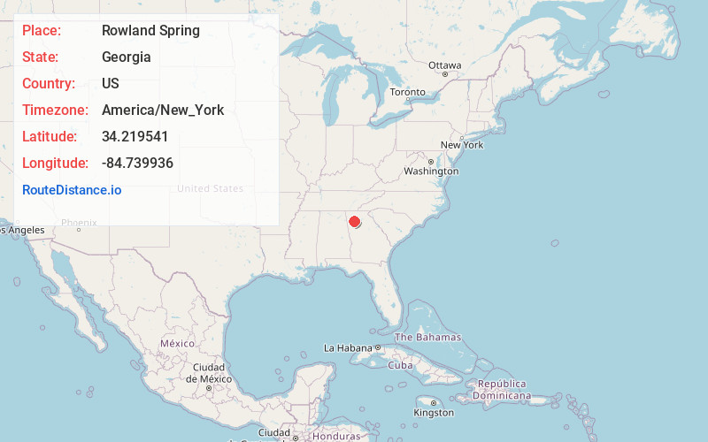
Full AddressRowland Spring, GA 30121
-
Coordinates34.2195405, -84.739936
-
LocationGeorgia , US
-
TimezoneAmerica/New_York
-
Current Local Time8:50:54 PM America/New_YorkWednesday, June 4, 2025
-
Page Views0
About Rowland Spring
Rowland Springs is an unincorporated community in Bartow County, Georgia, United States. It is located approximately five miles east of Cartersville with approximately ten subdivisions and churches, including Rowland Springs Baptist Church. It is situated off Rowland Springs Road and off Georgia State Route 20.
Nearby Places
Found 10 places within 50 miles

McCallie
3.1 mi
5.0 km
McCallie, GA 30184
Get directions

White
4.4 mi
7.1 km
White, GA 30184
Get directions
Grassdale
4.6 mi
7.4 km
Grassdale, GA 30184
Get directions

Cartersville
5.1 mi
8.2 km
Cartersville, GA
Get directions

Emerson
6.4 mi
10.3 km
Emerson, GA
Get directions

Allatoona
7.8 mi
12.6 km
Allatoona, GA 30121
Get directions

Rydal
8.1 mi
13.0 km
Rydal, GA 30171
Get directions
Pleasant Valley
10.9 mi
17.5 km
Pleasant Valley, GA 30103
Get directions

Acworth
11.2 mi
18.0 km
Acworth, GA
Get directions

Oak Grove
11.3 mi
18.2 km
Oak Grove, GA 30102
Get directions
Location Links
Local Weather
Weather Information
Coming soon!
Location Map
Static map view of Rowland Spring, Georgia
Browse Places by Distance
Places within specific distances from Rowland Spring
Short Distances
Long Distances
Click any distance to see all places within that range from Rowland Spring. Distances shown in miles (1 mile ≈ 1.61 kilometers).