Distance to Swiss, Missouri

Calculating Your Route
Just a moment while we process your request...
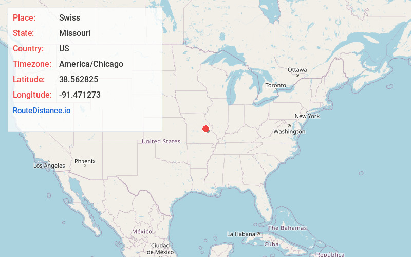
Location Information
-
Full AddressSwiss, Boeuf Township, MO 65041
-
Coordinates38.5628247, -91.4712729
-
LocationBoeuf Township , Missouri , US
-
TimezoneAmerica/Chicago
-
Current Local Time12:47:29 PM America/ChicagoTuesday, July 1, 2025
-
Page Views0
About Swiss
Swiss is an unincorporated rural village in Gasconade County, Missouri, United States. It lies at an elevation of 906 feet, along Missouri Highway 19 roughly 12 miles south of Hermann. The village was originally founded by immigrants from Switzerland, hence its name.
Swiss is home to the Swiss Meat & Sausage Company.
Nearby Places
Found 10 places within 50 miles

Stony Hill
5.4 mi
8.7 km
Stony Hill, MO 65066
Get directions
Brown Shanty
5.6 mi
9.0 km
Brown Shanty, Boulware Township, MO 65041
Get directions
Feigler Ferry
7.5 mi
12.1 km
Feigler Ferry, MO 65041
Get directions
Beemont
8.3 mi
13.4 km
Beemont, Lyon Township, MO 63037
Get directions
Krueger Ford
8.4 mi
13.5 km
Krueger Ford, Boulware Township, MO 65041
Get directions
Gasconade
8.8 mi
14.2 km
Gasconade, MO
Get directions
Detmold
9.9 mi
15.9 km
Detmold, MO 63068
Get directions

Hermann
9.9 mi
15.9 km
Hermann, MO 65041
Get directions
Berger
10.5 mi
16.9 km
Berger, MO 63014
Get directions

Mt Sterling
10.8 mi
17.4 km
Mt Sterling, MO 65062
Get directions
Location Links
Local Weather
Weather Information
Coming soon!
Location Map
Static map view of Swiss, Missouri
Browse Places by Distance
Places within specific distances from Swiss
Short Distances
Long Distances
Click any distance to see all places within that range from Swiss. Distances shown in miles (1 mile ≈ 1.61 kilometers).