Distance to Sycamore, Missouri

Calculating Your Route
Just a moment while we process your request...
Location Information
-
Full AddressSycamore, MO 65760
-
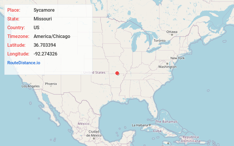
Coordinates36.703394, -92.2743257
-
LocationSycamore , Missouri , US
-
TimezoneAmerica/Chicago
-
Current Local Time8:02:16 AM America/ChicagoMonday, June 23, 2025
-
Page Views0
About Sycamore
Sycamore is an unincorporated community in eastern Ozark County in the Ozarks of southern Missouri, United States. It is located on Route 181, approximately fourteen miles northeast of Gainesville. The old townsite is located on a ridge on the west side of Bryant Creek, a major tributary of the North Fork River.
Nearby Places
Found 10 places within 50 miles

Zanoni
3.4 mi
5.5 km
Zanoni, MO 65655
Get directions
Bird Springs
3.8 mi
6.1 km
Bird Springs, Richland Township, MO 65637
Get directions

Dora
5.9 mi
9.5 km
Dora, MO
Get directions
Brixey
7.9 mi
12.7 km
Brixey, MO 65618
Get directions

Tecumseh
8.1 mi
13.0 km
Tecumseh, MO 65760
Get directions

Elijah
9.5 mi
15.3 km
Elijah, MO 65626
Get directions

Rockbridge
9.5 mi
15.3 km
Rockbridge, MO 65773
Get directions

Gainesville
11.0 mi
17.7 km
Gainesville, MO 65655
Get directions

Udall
11.1 mi
17.9 km
Udall, MO 65766
Get directions
Bertha
11.1 mi
17.9 km
Bertha, Jackson Township, MO 65608
Get directions
Location Links
Local Weather
Weather Information
Coming soon!
Location Map
Static map view of Sycamore, Missouri
Browse Places by Distance
Places within specific distances from Sycamore
Short Distances
Long Distances
Click any distance to see all places within that range from Sycamore. Distances shown in miles (1 mile ≈ 1.61 kilometers).