Distance to Tabor, Iowa

Calculating Your Route
Just a moment while we process your request...
Location Information
-
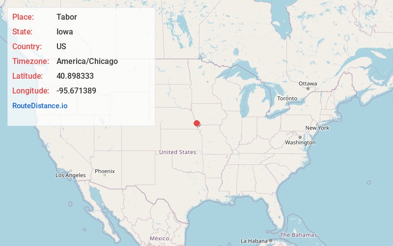
Full AddressTabor, IA 51653
-
Coordinates40.8983329, -95.6713891
-
LocationTabor , Iowa , US
-
TimezoneAmerica/Chicago
-
Current Local Time4:42:16 AM America/ChicagoThursday, May 29, 2025
-
Website
-
Page Views0
About Tabor
Tabor is a city in Fremont County and extends northward into Mills County in the U.S. state of Iowa. The population was 1,014 at the time of the 2020 census.


Nearby Places
Found 10 places within 50 miles

Malvern
8.7 mi
14.0 km
Malvern, IA 51551
Get directions

Glenwood
10.9 mi
17.5 km
Glenwood, IA 51534
Get directions

Plattsmouth
13.4 mi
21.6 km
Plattsmouth, NE 68048
Get directions

Shenandoah
17.9 mi
28.8 km
Shenandoah, IA 51601
Get directions

Nebraska City
18.2 mi
29.3 km
Nebraska City, NE 68410
Get directions

Offutt AFB
20.1 mi
32.3 km
Offutt AFB, NE
Get directions

Hamburg
20.3 mi
32.7 km
Hamburg, IA 51640
Get directions

Bellevue
22.3 mi
35.9 km
Bellevue, NE
Get directions

Treynor
23.3 mi
37.5 km
Treynor, IA 51575
Get directions

Weeping Water
24.6 mi
39.6 km
Weeping Water, NE 68463
Get directions
Location Links
Local Weather
Weather Information
Coming soon!
Location Map
Static map view of Tabor, Iowa
Browse Places by Distance
Places within specific distances from Tabor
Short Distances
Long Distances
Click any distance to see all places within that range from Tabor. Distances shown in miles (1 mile ≈ 1.61 kilometers).