Distance to Tahoe Pines, California

Calculating Your Route
Just a moment while we process your request...
Location Information
-
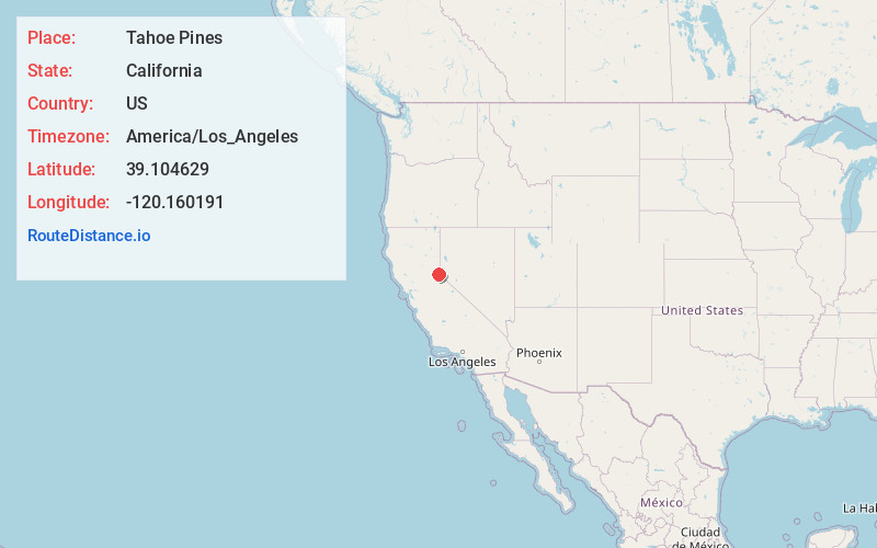
Full AddressTahoe Pines, CA 96141
-
Coordinates39.1046293, -120.1601906
-
LocationTahoe Pines , California , US
-
TimezoneAmerica/Los_Angeles
-
Current Local Time2:21:52 AM America/Los_AngelesWednesday, June 18, 2025
-
Page Views0


Nearby Places
Found 10 places within 50 miles

Homewood
1.3 mi
2.1 km
Homewood, CA
Get directions

Tahoma
3.1 mi
5.0 km
Tahoma, CA 96142
Get directions

Rampart
4.3 mi
6.9 km
Rampart, CA 96146
Get directions

Tahoe City
4.4 mi
7.1 km
Tahoe City, CA
Get directions

Dollar Point
6.6 mi
10.6 km
Dollar Point, CA 96145
Get directions

Olympic Valley
7.6 mi
12.2 km
Olympic Valley, CA 96146
Get directions

Emerald Bay
10.4 mi
16.7 km
Emerald Bay, CA 96150
Get directions

Tahoe Vista
11.0 mi
17.7 km
Tahoe Vista, CA
Get directions

Kings Beach
11.7 mi
18.8 km
Kings Beach, CA
Get directions

Crystal Bay
11.9 mi
19.2 km
Crystal Bay, NV
Get directions
Location Links
Local Weather
Weather Information
Coming soon!
Location Map
Static map view of Tahoe Pines, California
Browse Places by Distance
Places within specific distances from Tahoe Pines
Short Distances
Long Distances
Click any distance to see all places within that range from Tahoe Pines. Distances shown in miles (1 mile ≈ 1.61 kilometers).