Distance to Talapoosa, Nevada

Calculating Your Route
Just a moment while we process your request...
Location Information
-
Full AddressTalapoosa, NV 89429
-
Coordinates39.4540815, -119.2759996
-
LocationNevada , US
-
TimezoneAmerica/Los_Angeles
-
Current Local Time12:14:56 AM America/Los_AngelesThursday, June 5, 2025
-
Page Views0
Nearby Places
Found 10 places within 50 miles

Silver Springs
3.8 mi
6.1 km
Silver Springs, NV
Get directions

Stagecoach
7.6 mi
12.2 km
Stagecoach, NV 89429
Get directions

Fernley
10.7 mi
17.2 km
Fernley, NV
Get directions

Thisby
12.1 mi
19.5 km
Thisby, NV 89434
Get directions

Wadsworth
12.3 mi
19.8 km
Wadsworth, NV 89442
Get directions

Clark
13.3 mi
21.4 km
Clark, NV 89437
Get directions
Sutro
20.4 mi
32.8 km
Sutro, Dayton, NV 89403
Get directions
Como
22.2 mi
35.7 km
Como, NV 89403
Get directions

Virginia City
22.3 mi
35.9 km
Virginia City, NV 89440
Get directions

Dayton
22.6 mi
36.4 km
Dayton, NV
Get directions
Location Links
Local Weather
Weather Information
Coming soon!
Location Map
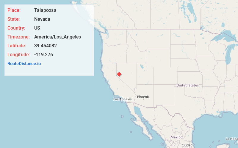
Static map view of Talapoosa, Nevada
Browse Places by Distance
Places within specific distances from Talapoosa
Short Distances
Long Distances
Click any distance to see all places within that range from Talapoosa. Distances shown in miles (1 mile ≈ 1.61 kilometers).