Distance to Talley, Kentucky

Calculating Your Route
Just a moment while we process your request...
Location Information
-
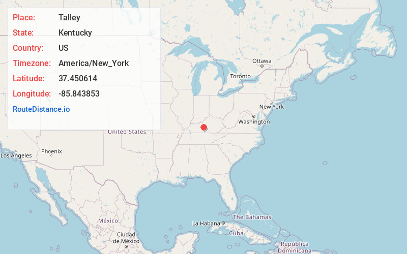
Full AddressTalley, KY 42784
-
Coordinates37.4506135, -85.8438532
-
LocationKentucky , US
-
TimezoneAmerica/New_York
-
Current Local Time8:15:45 PM America/New_YorkSaturday, May 24, 2025
-
Page Views0
Nearby Places
Found 10 places within 50 miles

High Hickory
2.1 mi
3.4 km
High Hickory, KY 42784
Get directions
Maxine
2.8 mi
4.5 km
Maxine, KY 42776
Get directions

Upton
2.9 mi
4.7 km
Upton, KY 42784
Get directions
Wabash
3.1 mi
5.0 km
Wabash, KY 42713
Get directions
Vento
3.5 mi
5.6 km
Vento, KY 42713
Get directions

Magnolia
5.5 mi
8.9 km
Magnolia, KY 42757
Get directions

Sonora
5.7 mi
9.2 km
Sonora, KY
Get directions
Bonnieville
5.9 mi
9.5 km
Bonnieville, KY 42713
Get directions
Boundary Oak
8.0 mi
12.9 km
Boundary Oak, KY 42748
Get directions

Larue County
8.0 mi
12.9 km
Larue County, KY
Get directions
Location Links
Local Weather
Weather Information
Coming soon!
Location Map
Static map view of Talley, Kentucky
Browse Places by Distance
Places within specific distances from Talley
Short Distances
Long Distances
Click any distance to see all places within that range from Talley. Distances shown in miles (1 mile ≈ 1.61 kilometers).