Distance to Tamalco Township, Illinois

Calculating Your Route
Just a moment while we process your request...
Location Information
-
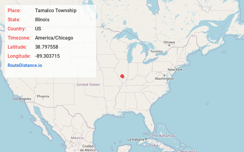
Full AddressTamalco Township, IL
-
Coordinates38.7975578, -89.3037147
-
LocationTamalco Township , Illinois , US
-
TimezoneAmerica/Chicago
-
Current Local Time7:14:44 PM America/ChicagoTuesday, June 3, 2025
-
Page Views0
About Tamalco Township
Tamalco Township is one of nine townships in Bond County, Illinois, USA. As of the 2020 census, its population was 522 and it contained 260 housing units.

Nearby Places
Found 10 places within 50 miles

Tamalco
2.0 mi
3.2 km
Tamalco, IL 62253
Get directions
Hookdale
2.0 mi
3.2 km
Hookdale, IL 62284
Get directions
Keyesport
4.2 mi
6.8 km
Keyesport, IL 62253
Get directions
Pleasant Mound
4.6 mi
7.4 km
Pleasant Mound, IL 62284
Get directions

Beaver Creek
5.3 mi
8.5 km
Beaver Creek, IL 62246
Get directions
Irishtown Township
5.8 mi
9.3 km
Irishtown Township, IL
Get directions
Dudleyville
6.4 mi
10.3 km
Dudleyville, IL 62246
Get directions

Pope Township
6.7 mi
10.8 km
Pope Township, IL
Get directions

Smithboro
7.1 mi
11.4 km
Smithboro, IL 62284
Get directions
Marydale
7.8 mi
12.6 km
Marydale, Irishtown Township, IL 62231
Get directions
Location Links
Local Weather
Weather Information
Coming soon!
Location Map
Static map view of Tamalco Township, Illinois
Browse Places by Distance
Places within specific distances from Tamalco Township
Short Distances
Long Distances
Click any distance to see all places within that range from Tamalco Township. Distances shown in miles (1 mile ≈ 1.61 kilometers).