Distance to Tarryall, Colorado

Calculating Your Route
Just a moment while we process your request...
Location Information
-
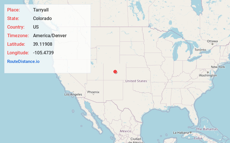
Full AddressTarryall, CO 80827
-
Coordinates39.1190799, -105.4739
-
LocationTarryall , Colorado , US
-
TimezoneAmerica/Denver
-
Current Local Time2:00:15 PM America/DenverSunday, June 22, 2025
-
Page Views0
About Tarryall
Tarryall is a ghost town in northwest Park County, Colorado, United States. It is on upper Tarryall Creek northwest of Como, Colorado. It was once the county seat of Park County, but is now completely deserted.

Nearby Places
Found 10 places within 50 miles

Florissant
15.5 mi
24.9 km
Florissant, CO 80816
Get directions

Westcreek
16.8 mi
27.0 km
Westcreek, CO 80135
Get directions

Hartsel
18.5 mi
29.8 km
Hartsel, CO 80449
Get directions

Rock Creek
19.0 mi
30.6 km
Rock Creek, Bailey, CO 80421
Get directions
Balfour
19.9 mi
32.0 km
Balfour, CO 80449
Get directions

Divide
20.9 mi
33.6 km
Divide, CO 80814
Get directions
Ferndale
23.0 mi
37.0 km
Ferndale, CO 80470
Get directions
Singleton
23.4 mi
37.7 km
Singleton, CO 80475
Get directions

Woodland Park
24.0 mi
38.6 km
Woodland Park, CO 80863
Get directions
Santa Maria
24.4 mi
39.3 km
Santa Maria, CO 80448
Get directions
Location Links
Local Weather
Weather Information
Coming soon!
Location Map
Static map view of Tarryall, Colorado
Browse Places by Distance
Places within specific distances from Tarryall
Short Distances
Long Distances
Click any distance to see all places within that range from Tarryall. Distances shown in miles (1 mile ≈ 1.61 kilometers).